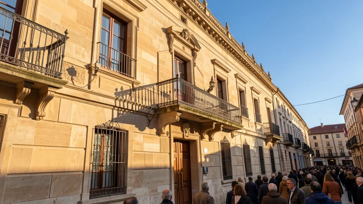
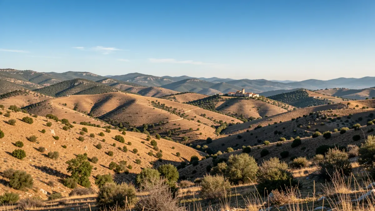
The protected area, encompassing 38,900 hectares across 22 municipalities in Alt Camp, Baix Camp, les Garrigues, Conca de Barberà, and Priorat, aims to conserve landscape values, promote the primary sector, adapt to climate change, and help retain rural populations.
The affected municipalities include Prades, Capafonts, la Febró, Arbolí, l'Albiol, la Selva del Camp, l'Aleixar, Vilaplana, and Alforja (Baix Camp); Mont-ral, la Riba, and Alcover (Alt Camp); la Pobla de Cérvoles and el Vilosell (les Garrigues); Vallclara, Vimbodí i Poblet, Vilanova de Prades, l'Espluga de Francolí, Montblanc, and Vilaverd (Conca de Barberà); and Cornudella de Montsant and Ulldemolins (Priorat).
The park's boundaries were defined based on criteria of habitat representativeness, geographical coherence, and ecological connectivity. The decree also establishes new partial natural reserves and expands an existing one, incorporating areas like the Poblet Natural Site of National Interest and Natura 2000 sites.
Prohibitions are in place to protect the area, including restrictions on geological resource extraction (unless already active), construction of campsites, permanent caravan parking, golf courses, waste disposal sites, and intensive farming. The installation of power lines over 30 kV is also limited, with renewable energy plants permitted under specific power and surface area constraints.
The park's management will enhance the involvement of local councils and regional stakeholders in its Governing Board. This board will include representatives from the Generalitat, local entities, provincial councils, and park-related organizations. A Mayors' Assembly and a Scientific Council will also be established to aid in management.