
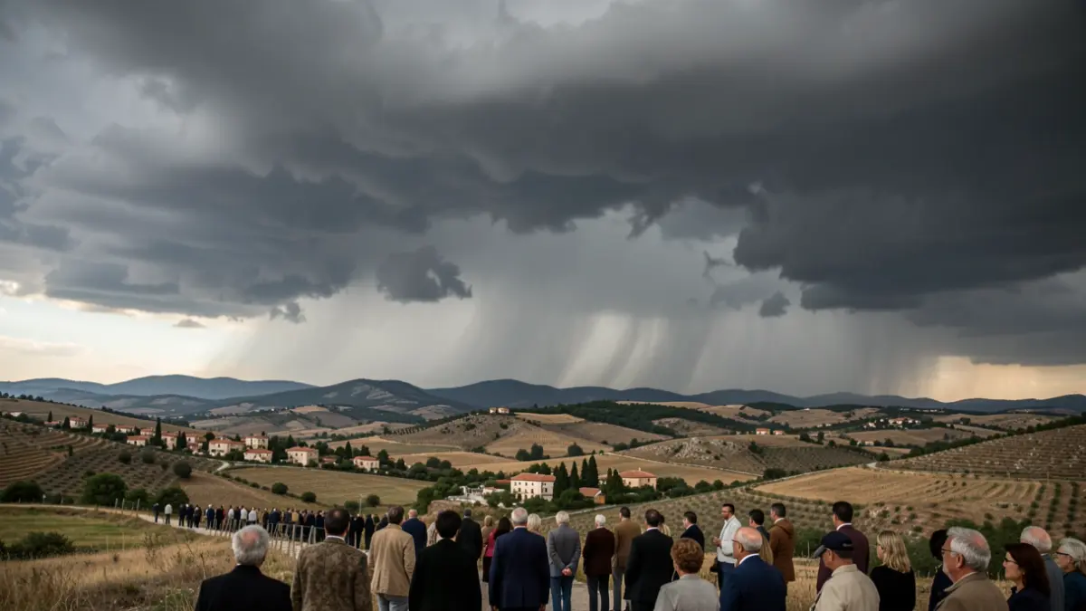
Summer might take a pause in Spain with the arrival of a trough that will rapidly cross the peninsula. The State Meteorological Agency (Aemet) warns that this phenomenon, along with a mass of polar air and an Atlantic front, will cause a widespread drop in thermometers and an increase in atmospheric instability, resulting in showers and storms in the northern and eastern peninsular regions. This episode will begin this Thursday, intensify over the weekend, and last at least until Monday. Experts urge extreme caution due to the possibility of torrential rains and potential floods.
According to meteorological models, temperatures could drop by up to 10 degrees in just one day. In the interior of Galicia, northern Castilla y León, La Rioja, Navarra, parts of northern Aragon, as well as eastern Andalusia and the interior of Murcia, maximum temperatures will fall between 8 and 10 degrees on Thursday. In the Mediterranean region, the most significant drop will be felt from Friday onwards. In inland areas, and especially in the north of the peninsula, maximum temperatures could be 5 to 10 degrees below the seasonal average, which would be unusual for summer.
Aemet forecasts precipitation in the Cantabrian area and stormy afternoon showers in the rest of the northern half and eastern third of the peninsula, which could be locally heavy. In the southeastern third, storms might be very intense, with strong gusts, large hail, and possible downbursts. In total, at least 10 autonomous communities have activated warnings for torrential rains and storms.
On Friday, precipitation will continue in the Cantabrian region, the northeastern peninsula, and the Balearic Islands. Over the weekend, an intensification of rains is expected in the Cantabrian area, with possible storms, and an increase in instability in the northeastern third, particularly in the central and eastern Pyrenees. Locally heavy stormy showers are also anticipated in southern Catalunya, eastern Aragon, and northern Valencia. The 'bad weather' summer situation could extend until Monday in the far north of the peninsula and other parts of the country, although uncertainty regarding the intensity and exact location of accumulated rainfall remains high.