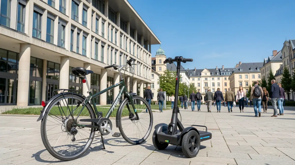
This plan will define the future network of routes, parking areas, and measures to facilitate travel by bicycle and scooter. To conduct an accurate diagnosis of the current situation, a citizen survey has been launched to understand residents' habits and needs.
The main objective is to establish a connected, continuous, and safe mobility network linking the different neighborhoods, schools, and facilities in the municipality. It includes defining main routes and routes for walks and cycle tourism, as well as improving signage and promoting the use of these transport modes for daily commutes.
The plan also aims to reduce traffic and noise, improve air quality, and create safer streets for pedestrians and cyclists. The proposal includes studying and updating current regulations and determining strategic parking spaces.
Citizens can participate in this diagnosis by answering the online survey, which takes between eight and ten minutes to complete and guarantees anonymity.