The unsettled weather episode, which began with the xaloc gale over the weekend, will intensify significantly between Monday and, particularly, Tuesday with the arrival of Storm Harry. This meteorological situation is expected to bring several rounds of rain that could leave notable accumulations, potentially exceeding 100 liters per square meter in many areas of Catalonia.
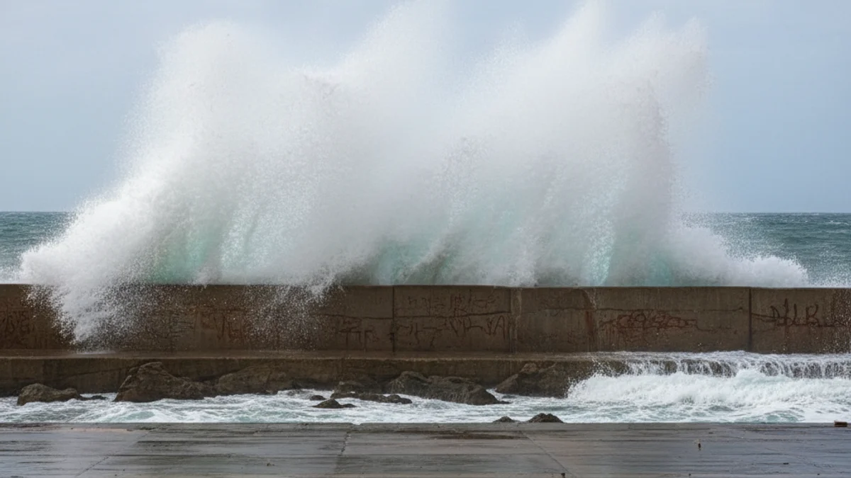
The second phase of this storm, starting on Monday, January 19, will bring very rough seas to the entire coastline. The Servei Meteorològic de Catalunya (SMC) has warned that the Barcelonès and Maresme regions are under high and very high danger due to the combination of wind and sea conditions.
Wind gusts will be from the northeast and east (Gregal and Levante), with speeds potentially exceeding 60 or 70 km/h along the maritime façade. These conditions are responsible for the extreme wave action.
Towards Tuesday and even Wednesday, the storm is expected to persist or could worsen momentarily. Waves of four to five meters are anticipated, making navigation and coastal activities extremely hazardous during this period.