The week has been marked by episodes of intense rainfall, such as the 120 l/m² accumulated in Badalona and Barcelona or the floods in Alcanar (Montsià). However, Thursday is the last day of stability with sun and maximum temperatures between 10 and 15 degrees, before the weather worsens.
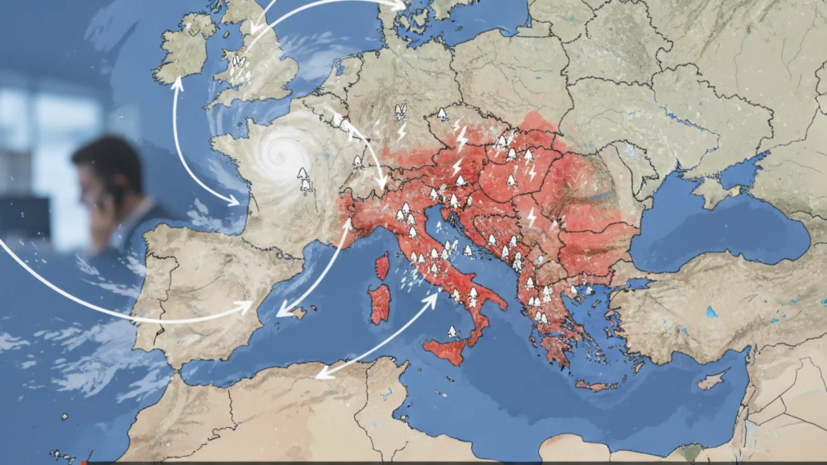
This calm will be short-lived. A new Atlantic front will enter on Friday, covering the sky and bringing weak precipitation to the northern half starting at noon. Showers will spread across the entire territory on Saturday, especially affecting the coast and pre-coastal areas.
Rainfall will gain strength on Saturday afternoon, reaching the interior of Lleida and Tarragona intensely. The snow level will drop significantly to 1,600 meters, causing snowfall in the Pyrenees. This temperature drop anticipates the arrival of a cold air mass.
A polar storm is expected to arrive on Sunday, potentially generating the first full winter storm of the season. The cold and rain will continue until Tuesday, with abundant snowfall in the Pyrenees and the possibility of snow in unusual locations outside these mountainous areas.


