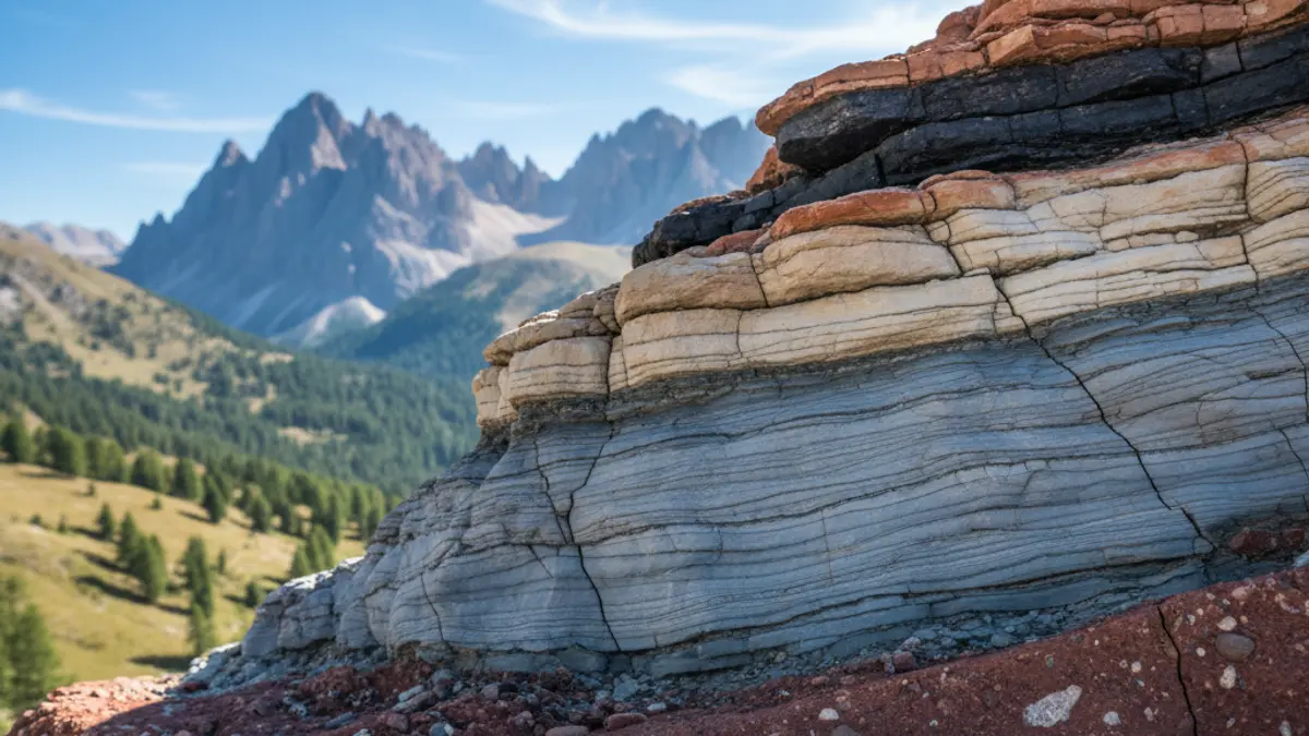
During the talk, an expert illustrated how Cerdanya acquired its current configuration, presenting the various geological units that make up the landscape. The evolutionary stages of the region and the geological processes that have shaped its territory over time were reviewed.
The speaker emphasized particular elements such as the Miocene lake of the Bellver basin and the Sanavastre pond, for which he requested protection measures due to its scientific relevance.
Furthermore, it was highlighted that Cerdanya is located in an area of seismic activity, and it was noted that earthquake-resistant construction regulations are stricter in Alta Cerdanya than in Baixa Cerdanya.
The session concluded with a preview of the Transboundary Geological and Mining Park of Cerdanya, a project currently under development. The conference was very well received, completely filling the Sala Pilar Prim.