
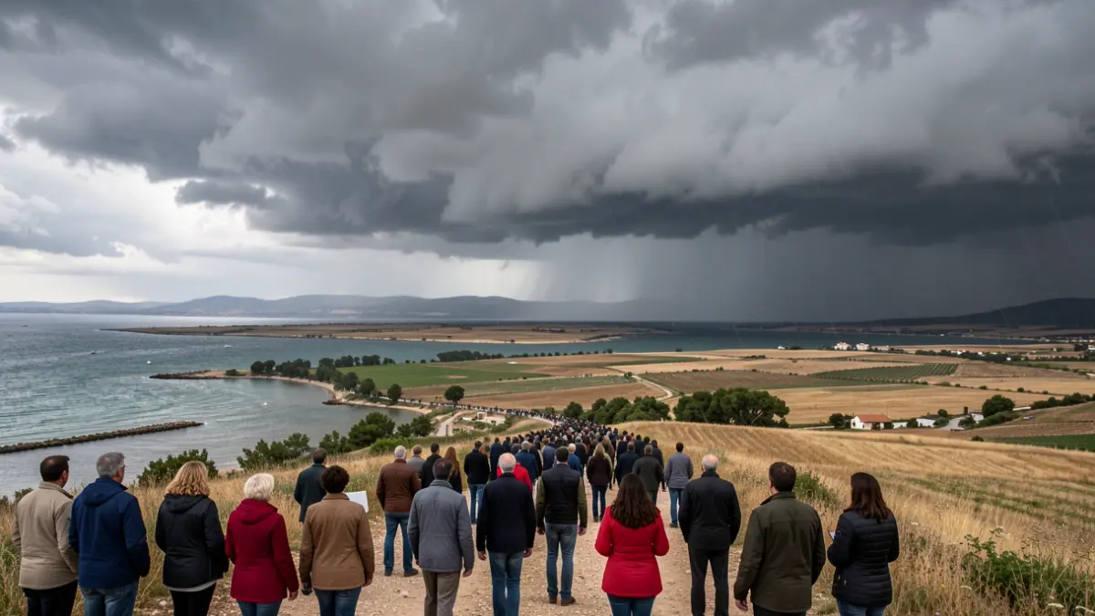
The State Meteorological Agency (AEMET) has activated yellow and orange alerts for rains and storms that will primarily affect southern Catalonia, as well as areas of the Valencian Community and the Balearic Islands. This episode of precipitation, which could be very heavy, will begin on Friday evening in the Penedès and Camp de Tarragona regions.
Torrential downpours are expected, potentially exceeding 40 liters per square meter in half an hour and accumulating up to 60 liters in three hours. Civil Protection has activated the Inuncat plan due to the forecast of localized torrential rains in the Camp de Tarragona and the Ebro Delta over the weekend.
The rains will be particularly intense in Tarragona between midnight and 4 AM on Saturday. In Barcelona, the heaviest precipitation is expected during the early morning hours, with moderate cloudiness in the morning. The storms could be accompanied by hail, strong wind gusts, and squalls, following recent reports of large hailstones up to three centimeters in other parts of Catalonia.
Meteorological forecasts indicate that the storms will move towards the sea and re-enter the interior via the Ebro Delta region during Saturday morning, with very intense rains anticipated. In the afternoon, strong showers are not ruled out in the southern counties of Catalonia.
The Catalan Water Agency (ACA) has reported that, while widespread river flooding is not anticipated, water accumulation could cause sudden rises in streams, torrents, and ravines, with potential localized impacts on roads crossing these areas.
In addition to the rain, a significant drop in temperatures is expected over the weekend due to a colder air mass. Temperatures will be below average for this time of year, putting an end to torrid and tropical nights on the coast. The Pyrenees will notably feel this cooling, while in Ponent and Ebre, maximum temperatures will not exceed 33°C, and in the rest of the territory, they will range between 26°C and 30°C.