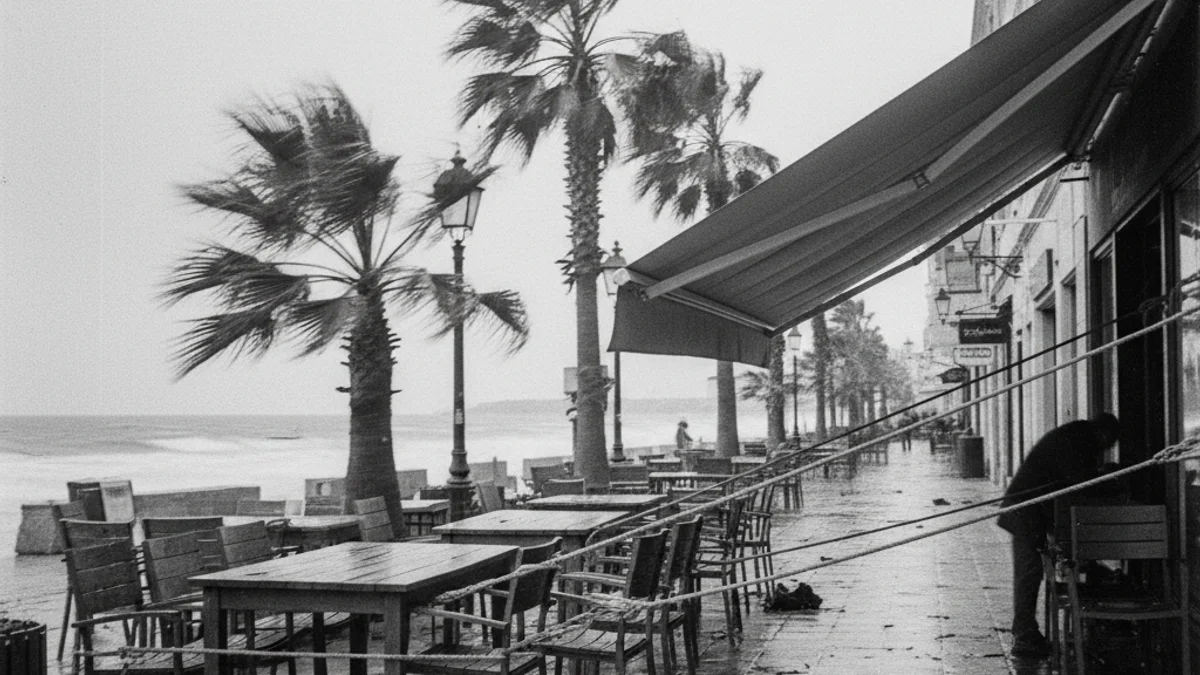
The Tarragona coast and pre-coastal areas are the zones most likely to exceed gusts of 72 km/h, according to Meteocat forecasts. The situation is considered particularly adverse in the Baix Penedès region.
The westerly winds will start strengthening during the early hours of Thursday, increasing the risk throughout the morning in both Camp de Tarragona and Baix Penedès. Despite a slight respite on Thursday afternoon, the intensity will return in the evening.
The episode will be widespread throughout Friday, maintaining the impact on the coast. Protecció Civil urges the public to exercise extreme caution when traveling, avoid outdoor activities, and secure any elements susceptible to falling or detaching.
This activation occurs while the alert for intense cold in Catalunya has been deactivated. However, the pre-alert for the snow plan remains in the Pyrenees, although without direct impact on the Tarragona territory.