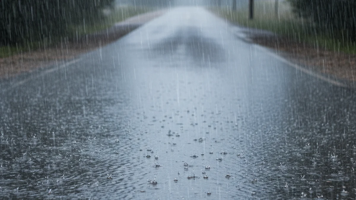
The precipitation, which began on the night of Friday, January 16, 2026, initially affected the western half of the community. The Catalan Meteorological Service (Meteocat) reported that the rainfall would be "extensive and continuous" throughout Saturday, with the possibility of strong local intensity.
Accumulation data shows that the water has concentrated in the Camp de Tarragona area, with a maximum record of 64 liters per square meter in Constantí. Additionally, 27 liters per square meter accumulated in Tremp. Besides the rain, the Generalitat activated the Neucat plan in anticipation of snow in the Pyrenees and Pre-Pyrenees above 400 meters, with accumulations of up to 40 centimeters.
“"Although it may not seem like it, cars can float with little water depth and be easily swept away."
Given the extent of the storm, which is expected to last until Tuesday, Civil Protection urges caution. They remind the public never to cross rivers, streams, or flood-prone areas. The Catalan Traffic Service also warned of heavy fog on roads near Valls and the need to use chains on secondary roads in Montferrer i Castellbò and at the Port del Cantó, in Lleida.