The initiative, with a budget of 11,999.57 euros, incorporates state-of-the-art tools to facilitate public road maintenance planning. A vehicle equipped with a specially designed device will travel through the city's streets.
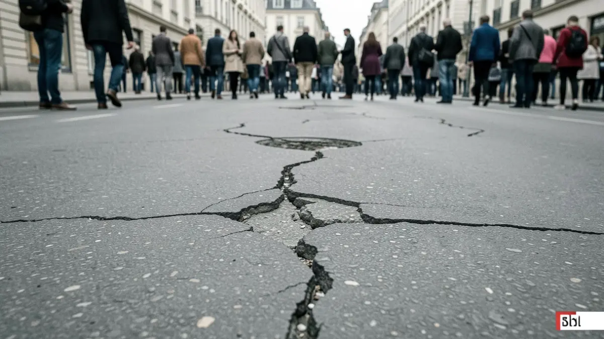
This vehicle will capture three-dimensional images of the pavement surface using an infrared camera. The system will process these images to automatically detect damage, geolocate it, and characterize it.
The results will include photographs, depth maps, and the dimensions of the damage. The service will be carried out within fifteen days, divided into three phases: data collection, processing, and damage visualization.
The system will allow for the classification of damage according to its type and severity, thus identifying the most urgent actions, especially those located at pedestrian crossings to ensure citizen safety.