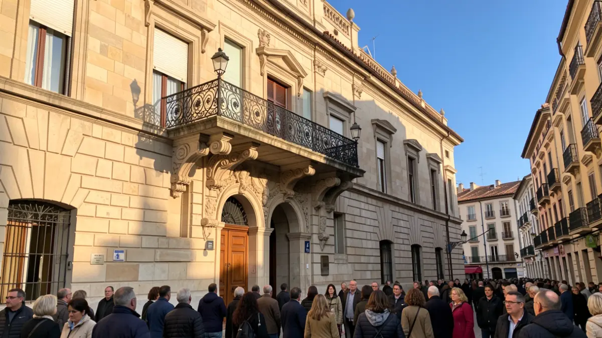
The council agreement, held this afternoon, concludes the process initiated on March 30, 2026. After the public information period and analysis of the submitted allegations, the council has now given final approval to the modification.
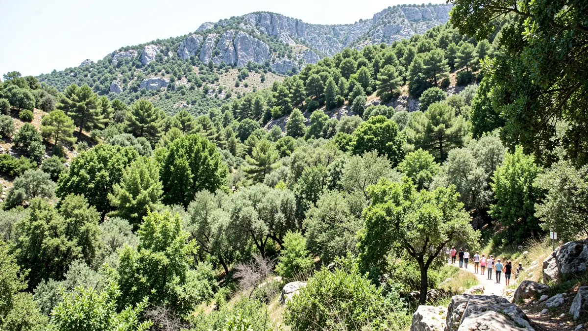
The affected section covers an area of 468.572 square meters and is located between plots 34, 38, 199, 200, and 201 of polygon 27. With this decision, the land ceases to be public domain and becomes a heritage asset of the city.
The allegations presented during the public exhibition period have been dismissed. Municipal technical and legal reports confirm that both historical documentation and the Municipal Inventory attest to the public path status of the section in question.
Councillor Andreu Gassó (Junts) explained that the allegations presented did not question the declassification itself, but rather references to property boundaries, considering these discrepancies to be "of a civil nature".
The City Council will proceed to update the Municipal Inventory of Assets, register the new classification in the Property Registry, and maintain a right-of-way over the affected properties.