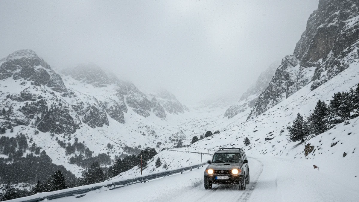
The front forecasts intense snowfalls primarily affecting the Western and Central Pyrenees, with accumulations of over 30 centimeters of new snow above 2,000 meters. The most affected regions include Vall d'Aran, Pallars Sobirà, Alt Urgell, Alta Ribagorça, Cerdanya, Pallars Jussà, and Ripollès.
Regarding the wind, the Servei Meteorològic de Catalunya (SMC) expects gusts that could exceed 80 km/h in Ponent, the Western Pyrenees, Central Catalonia, and the Central coast. The wind, blowing from the west, has put regions in Camp de Tarragona, Penedès, and the metropolitan area at risk, such as Baix Camp, Tarragonès, and Baix Llobregat.
Protecció Civil urges extreme caution when traveling by road and during outdoor activities, as the 'torb' phenomenon (blizzard) in high mountains can severely reduce visibility. Furthermore, the avalanche risk remains high (level 4 out of 5) in sectors such as Pallaresa and Ter-Freser. The Servei Català de Trànsit (SCT) reports a gradual recovery of road normality, although closures persist, such as the C-28 at Port de la Bonaigua and the BV-4031 at Coll de la Creueta.
Emergency services have handled a large volume of incidents related to the storm. The Bombers de la Generalitat received over 310 calls throughout the episode, mainly for removing fallen trees and landslides. Concurrently, the 112 emergency phone received a total of 1,190 calls until noon this Sunday, mostly from Solsonès, Baix Camp, and Moianès.