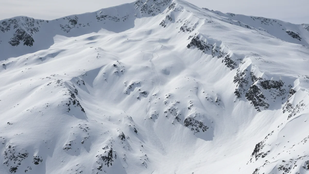
The extreme danger alert (level 5) affects key areas such as the Vall d'Aran, Pallaressa, the Pre-Pyrenees, the Northern Slope of Cadí-Moixeró, and Ter-Freser, according to reports from MeteoCat and the Cartographic and Geological Institute of Catalonia (ICGC).
This situation of high instability arises from the intense snowfall episode recorded in recent days. The danger remains strong (level 4) in the areas of Ribagorçana, Vall Fosca, Perafita, and Puigpedrós.
“"The new snow depths add to a situation of high instability."
The Government of Aragon has also issued a statement urging “maximum caution to the population” and reiterating the prohibition of off-piste skiing or ski mountaineering, as even weak overloads can trigger an avalanche.
Authorities stress the need to limit activity in high mountain areas and respect the instructions of emergency services, as any imprudence can have serious consequences for those affected and for rescue teams. Caution is also recommended when traveling on mountain roads.