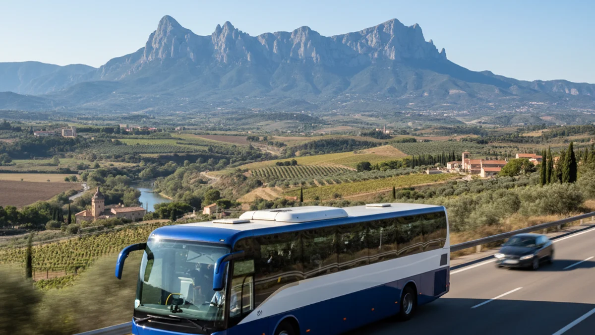
The new map covers 43 lines across the Greater Barcelona Region, including the e22 service from Manresa and the e5 from Igualada. Available in PDF and interactive web formats, the tool allows passengers to check real-time routes and connections with Metro, FGC, and Rodalies trains.
Based on the seven-zone fare system updated in 2024, the design focuses on accessibility and simplicity. It uses geographical landmarks like rivers and main roads to help users orient themselves. In the future, QR codes will be installed at all bus stops to provide instant access to this updated information.