Aemet spokesperson, Rubén del Campo, confirmed that the episode will last until Wednesday, with Monday and Tuesday expected to be the most critical days. Accumulations of up to 60 liters per square meter are anticipated over 12-hour periods in several coastal towns, leading to the activation of yellow level warnings.
Authorities recommend that the public stay updated on the evolution of this phenomenon and exercise extreme caution during the moments of greatest rainfall intensity.
This storm is caused by the combination of an anticyclone in northern Europe and a low-pressure system forming in the western Mediterranean. This atmospheric setup will favor an intense flow of easterly winds, which will gather moisture over the sea and discharge heavily along the Catalan coast, maintaining persistent instability throughout the weekend and much of next week.
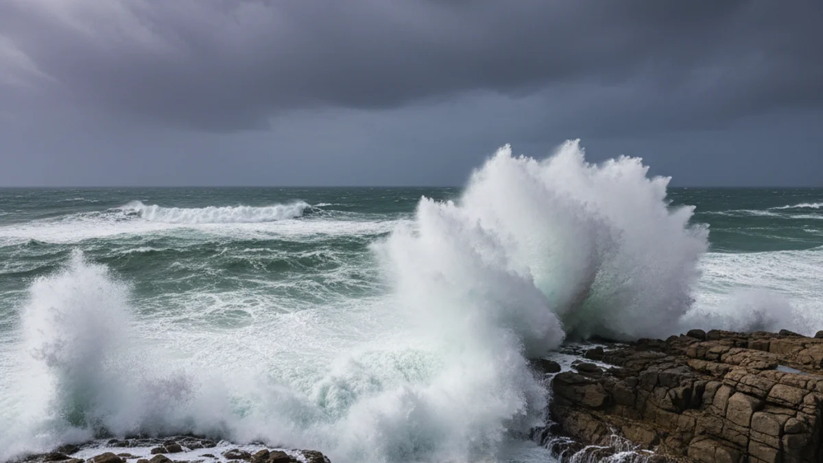
The maritime storm will be significant, with waves potentially exceeding four meters, especially between Monday and Tuesday, posing a risk of damage to coastal areas and promenades. Furthermore, heavy snowfall is expected in the Pyrenees, with snow levels ranging between 1,300 and 1,600 meters, alongside widespread inland frosts.