It was already anticipated that snow would cover the Pyrenees this weekend, but the snowfall has been more widespread, forcing the Servei Meteorològic de Catalunya (Meteocat) to activate warnings starting at altitudes of 300 meters. Throughout the morning, snow fell in Moianès, Vallès, Osona, and Bages, and even reached the Collserola massif, with the first flakes seen from Tibidabo shortly before noon.
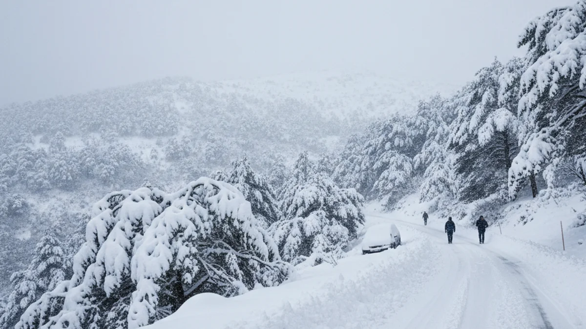
The cold and snow are consequences of the fronts dragged by Storm Ingrid. Significant snow depths have been recorded in Montserrat, as well as in elevated points of Berguedà and Ripollès, and in cities like Manresa. In Moià and Bagà, up to two centimeters have accumulated, and in Camprodon, depths approach five centimeters.
The snowfalls have not caused widespread serious incidents, but they do complicate circulation on some roads, especially in areas closest to the Pyrenees.
The Meteocat has also issued warnings for intense rainfall in Alt Empordà and activated a strong wind alert in several counties. Forecasts indicate that temperatures will drop even further overnight.
For Sunday, precipitation is expected to be “extensive” from south to north throughout the morning, and persistent in the Pyrenees all day. However, the snow level is expected to gradually decrease throughout the day.