The easterly storm caused by the low-pressure system Harry brought another day of intense rain and a powerful maritime storm to Catalonia throughout Tuesday. The prior saturation of the ground, following weeks of rainfall, aggravated the situation, causing a significant increase in river flows. Rains intensified during the early hours of Tuesday in the regions of Girona and, especially, in the Costa Brava sector.
Areas such as the Les Gavarres massif, Les Cadiretes, and Les Guilleries received the largest amount of water. The total accumulation of the episode between Monday and Tuesday reached around 200 mm in some parts of Baix Empordà. This situation forced the Meteorological Service of Catalonia to activate a warning for accumulated precipitation. The river surge was notable: the Daró exceeded 500 m³/s, a flow rate higher than that recorded during storm Glòria.
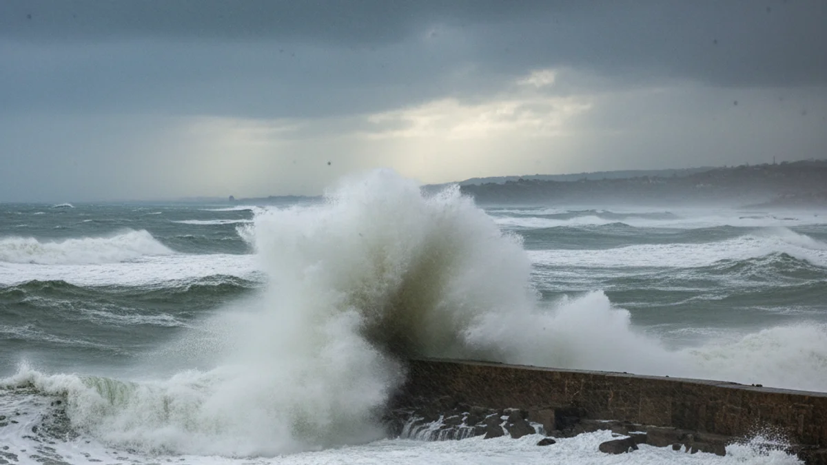
Other waterways such as the Onyar (which exceeded 300 m³/s), the Manol, the Tordera, the Llobregat d'Empordà, and the Ter reached a very high threshold, according to data from the Catalan Water Agency. Simultaneously, the maritime storm reached its peak on Tuesday, with waves exceeding 4 meters. The buoy off Cap de Begur, managed by State Ports, registered a significant wave height of between 5 and 6 meters, with a maximum wave reaching 10 meters.
This rough sea was accompanied by strong winds that exceeded 70 km/h in many locations, reaching almost 100 km/h at the summit of Montseny and 88 km/h in Portbou. Finally, snowfall reached the Pyrenean range, with altitudes below 1,000 meters. The most affected area was the Ripollès, where a warning for snow accumulation remained active, potentially exceeding half a meter at higher elevations, increasing the avalanche risk.