The first phase of this axis, deemed "strategic," has already completed the route between Aeri de Montserrat and Olesa de Montserrat. Signaling work is currently underway to extend the route to Martorell, where it will link with the Llobregat river path, and to Castellbisbal, connecting with the Vallès Occidental network.
These efforts are part of a larger initiative by the Diputació de Barcelona. During 2025, a total of 975 km of tourist paths were reviewed with an investment of €284,505, resulting in 22 executed projects. The provincial body assures that these actions will "gain momentum" during 2026, including the second phase of the Ronda del Moianès.
“"The objective is to improve the territory's offering through a large network that facilitates sustainable, interconnected, and quality tourist mobility."
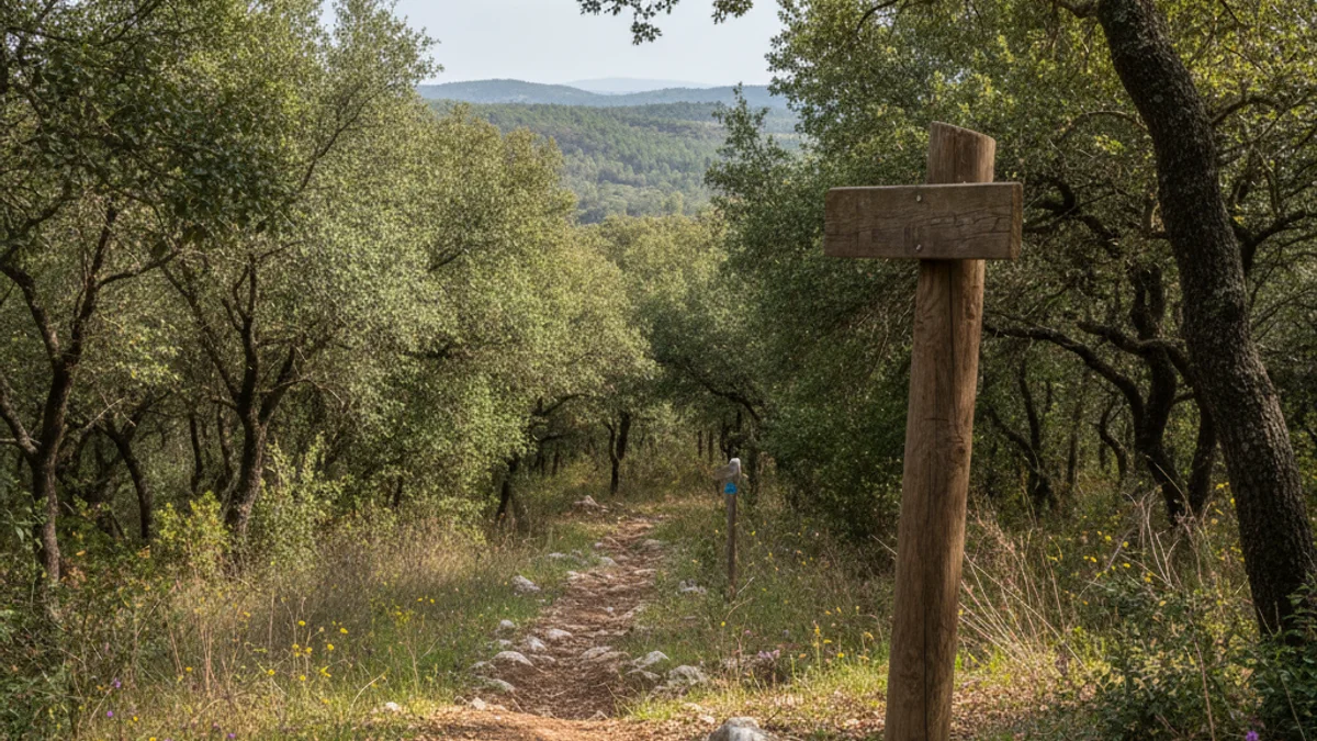
The Technical Tourism Office provides technical and economic support to local councils for tourist signaling. Currently, the province of Barcelona boasts an extensive tourist mobility network of over 13,000 kilometers of marked paths, contributing to balanced flow management and promoting de-seasonalization.