Storm Goretti has arrived strongly in the Peninsula, causing an explosive cyclogenesis that has activated meteorological warnings in 14 autonomous communities. In Catalonia, the Servei Meteorològic de Catalunya (Meteocat) has activated orange and yellow warnings for wind and snow, despite the intense frosts from the beginning of the week having ended.
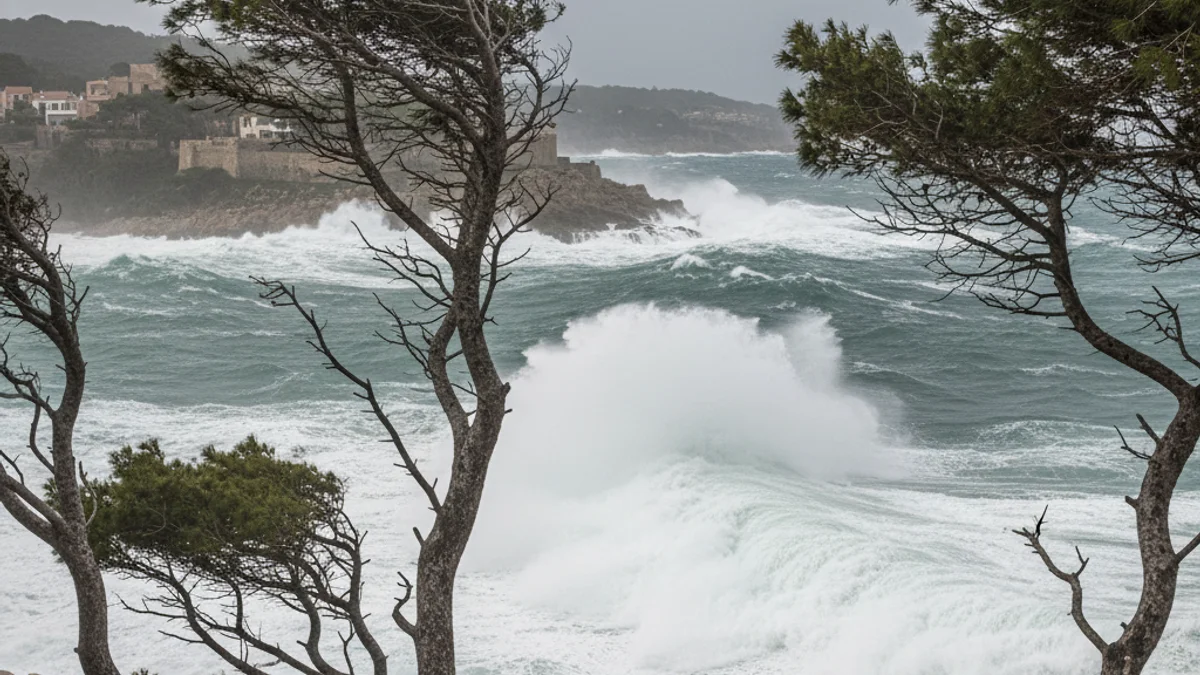
The most notable phenomenon of the day is the strong wind gusts, which will exceed 50 km/h in the provinces of Barcelona, Lleida, and Tarragona, with some gusts potentially surpassing 100 km/h in specific areas. Consequently, Meteocat has activated the orange warning starting at noon in regions such as Vall d’Aran, Pallars Sobirà, Baix Penedès, Cerdanya, Segarra, Ripollès, Baix Llobregat, Alt Penedès, and Anoia.
Regarding precipitation, snowfalls are expected in the northern Pyrenees, with the snow level dropping to 800 meters. Meteocat maintains the yellow warning for snow in Alta Ribagorça and the orange warning in Pallars Sobirà and Vall d’Aran. Some rainfall is also likely in the regions of Girona and Tarragona during Friday afternoon.
Maximum temperatures are rising across the territory, with values ranging between 10 and 15ºC. Snowfalls will continue during the early hours of Saturday, with possible accumulations of up to 30 centimeters of new snow, keeping the warnings active.
Looking ahead to the weekend, a calmer, though cold and windy, situation is expected. On Saturday, temperatures will slightly decrease, and the wind will continue to blow intensely on the central coast and pre-coastal areas. Sunday, however, is forecast to be the calmest day, with the cancellation of most active warnings.