Calm has returned to the Catalan territory after several weeks marked by snow, rain, and intense cold. Storm Goretti said goodbye on Sunday, leaving behind three days of strong wind gusts that exceeded 100 km/h in some areas.
During Monday, the sky will remain mostly clear, with some bands of clouds being more compact in the Pyrenees and northern regions. The wind will be weak, except in the Eastern Pyrenees and the coastal and pre-coastal areas of Barcelona, as well as in Selva and Baix Empordà, where gusts could exceed 50 km/h.
Thermal values will continue to increase towards Tuesday and Wednesday, with maximums exceeding 15ºC in many coastal areas.
The most notable feature of this week will be the temperature rise, which will last until Wednesday. On the coast, thermometers could exceed 15ºC during the central hours of the day, and inland maximums will surpass 12ºC. However, dense fog will form in the Central Depression, leading to cold and grey mornings.
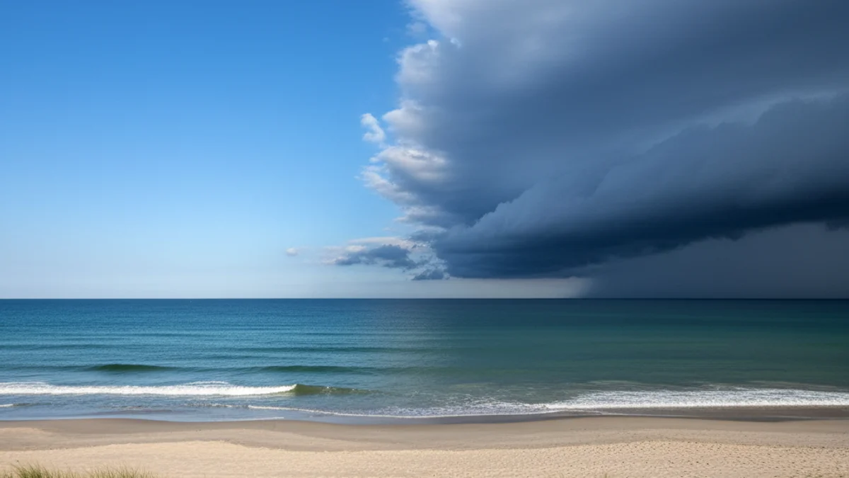
The significant change will arrive starting Thursday afternoon, when clouds will cover the atmosphere from west to east, giving way to a new period of instability. A storm located south of the British Isles will bring cold air masses, widespread rain, and the return of snowfall to low altitudes in inland Catalonia throughout the weekend. The mercury will once again drop below the January average.