Known as advection fog, this occurs when warm air passes over the colder seawater, causing moisture to condense into low clouds. These banks of fog remain over the sea until eastern winds push them inland, significantly reducing visibility for both residents and maritime traffic.
The current high-pressure system has also allowed for optical phenomena such as sun pillars, caused by light reflecting off ice crystals in high-altitude clouds. Conversely, the lack of wind is trapping pollution over urban areas, creating a visible brownish layer of smog above the city skyline.
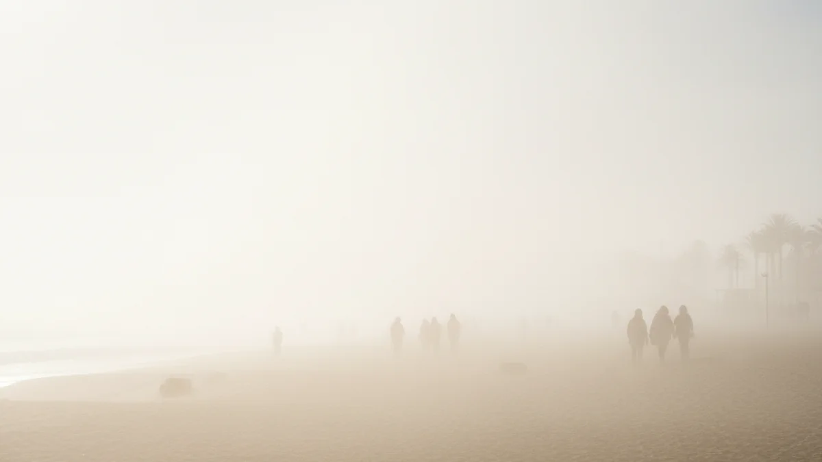
Looking ahead, Friday will mark the arrival of Saharan dust, leading to hazy skies across Catalonia throughout the weekend. While temperatures will remain mild, meteorologists suggest that the stable weather pattern may break next week with the potential return of rainfall.