The arrival of the storm marks the end of a stable period dominated by the Azores high-pressure system. Starting this Wednesday, overcast skies will prevail, with intermittent rain affecting the northeast and southern coastal areas, where accumulations could reach 50 l/m2 in regions like Girona.
Meteorologists predict that Thursday will be the most intense day of the episode. Rainfall will spread across the entire territory, often accompanied by mud due to suspended dust. In some areas of the southern third and the northeastern interior, cumulative rainfall could hit 100 mm within 24 hours.
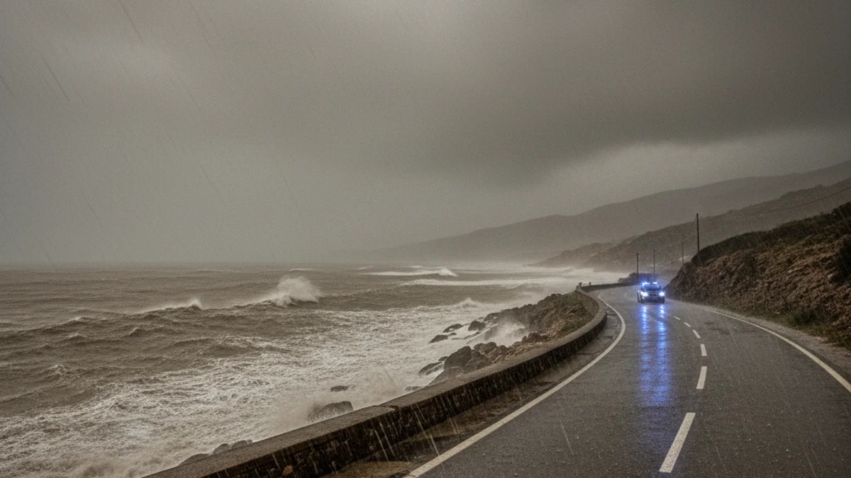
Strong easterly winds are expected along the coast and in high-altitude areas, creating significant waves. While snow levels will remain high, between 1,800 and 2,200 meters, daytime temperatures are expected to drop moderately on Thursday as the storm peaks before gradually subsiding by the weekend.