Following the departure of Storm Goretti, Catalonia has enjoyed an atmospheric truce thanks to a small anticyclone causing a progressive rise in temperatures. However, this calm will be short-lived. This Tuesday, the central and southern areas, especially the coastlines of Barcelona and Tarragona, woke up to dense clouds and suspended dust from the Sahara.
The most notable feature of Tuesday is the temperature increase. In Barcelona, the minimum was 10 degrees, and a maximum of 16ºC is expected. In Girona, the maximum will also reach 16 degrees, while in Lleida the minimum value will be -1 degree. Winds will be weak, except on the Costa Brava (Girona), where gusts could reach 40 or 50 km/h.
This truce will be short-lived, and by the end of the week, a new front will destabilize the atmosphere again, coinciding with the ‘Setmana dels barbuts’.
Instability will return starting Thursday, coinciding with the 'Setmana dels Barbuts' (Week of the Bearded Saints), a period traditionally associated with intense winter cold. Its name comes from the iconography of saints like Saint Paul the Hermit (January 15), Saint Maurus (January 16), and Saint Anthony the Great (January 17), who are always depicted with beards.
Although this year will not be the coldest week, thermometers will drop slightly. By late Thursday, weak precipitation is possible in the southern Pyrenees, with the snow line around 1,400 meters. Starting Friday and Saturday, a low-pressure system south of the British Isles will bring cold air and isolated showers.
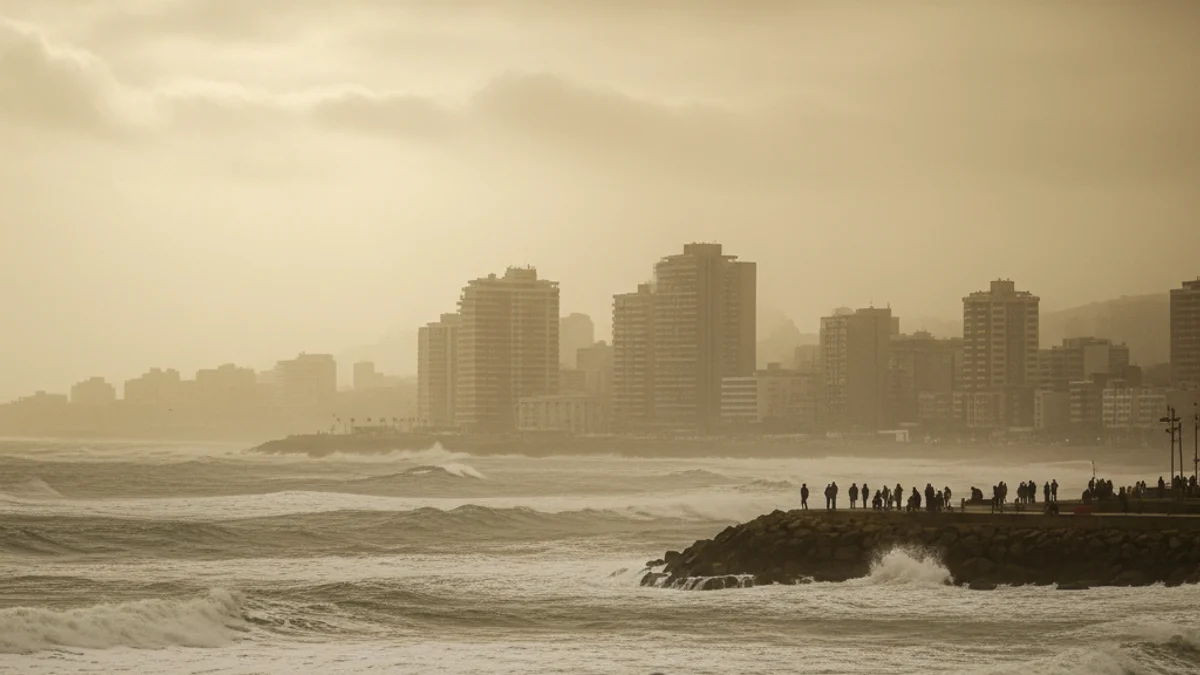
The most significant change is expected for Sunday, when the storm could become active, bringing persistent downpours across the entire Catalan geography. This unstable situation, with the possibility of snow, wind, and rough seas, could extend into the following week.