The easterly storm (llevantada) that affected the area between Monday and Tuesday has left significant depths of new snow across the entire Pyrenean and Pre-Pyrenean range. This situation led Aleix Serra Uró, a meteorologist for Meteocat and councilor at the Berga City Council, to suggest on his social media that the winter season could end with truly record accumulations.
“"The snow depth could break records this winter in the Pre-Pyrenees."
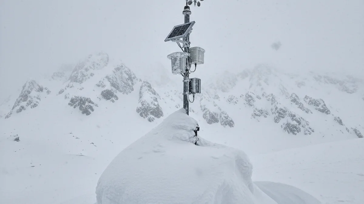
The maximum figure to beat is the 234 centimeters of snow reached in April 2018. Currently, the automatic station of the Meteorological Service of Catalonia at Cadí Nord, located at 2,143 meters of altitude, has increased by 104 cm from Friday to Tuesday, accumulating a total of 172 centimeters. Although the snow will compact slightly, forecasts indicate new snowfalls for the upcoming weekend.
“"New snow depths of one meter are not negligible at all, especially in the Pre-Pyrenees, where they are rare to see."
These snowfalls have been particularly significant above 1,900 meters. For example, the north-facing slopes of Rasos de Peguera (1,900 m) have accumulated nearly a meter of snow, a level not seen since February 2018. Serra emphasizes that the winter is proving to be “very snowy” and, considering that the peak of precipitation usually occurs in March or April, the historic record may be about to be surpassed.