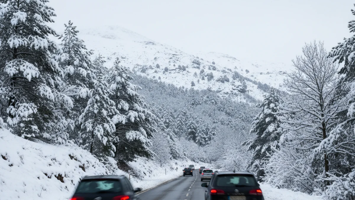
The combination of a Mediterranean depression, originating from the deep storm Ingrid located south of the British Isles, and the arrival of colder air, caused the snow line to drop drastically during Saturday morning. By mid-morning, snowfall was already recorded starting at 500 to 700 meters, depending on the area.
Snow affected key points such as the Túnel del Bruc (Bruc Tunnel) on the A-2 highway in Anoia, where it was snowing around 10 am. In La Llacuna, in the south of the same region, about three centimeters accumulated at the 800-meter level. Mobility was also complicated in the Priorat region.
The altitude level continued to drop, with snow appearing even in Vacarisses, in Vallès Occidental, at about 400 meters. In the Garraf region, specifically in Sant Pere de Ribes, sleet was observed around 400 meters, with the snow line temporarily dropping to 200 meters.
Significant snowfall also occurred in the Pyrenees and Pre-Pyrenees, affecting Alt Berguedà, many sectors of Solsonès, and a large part of Alt Urgell. However, the snowstorm is expected to dissipate starting in the afternoon. Caution is advised regarding the wind, which is expected to intensify in the plain of Lleida, the regions of Barcelona, Tarragona, and Alt Empordà.