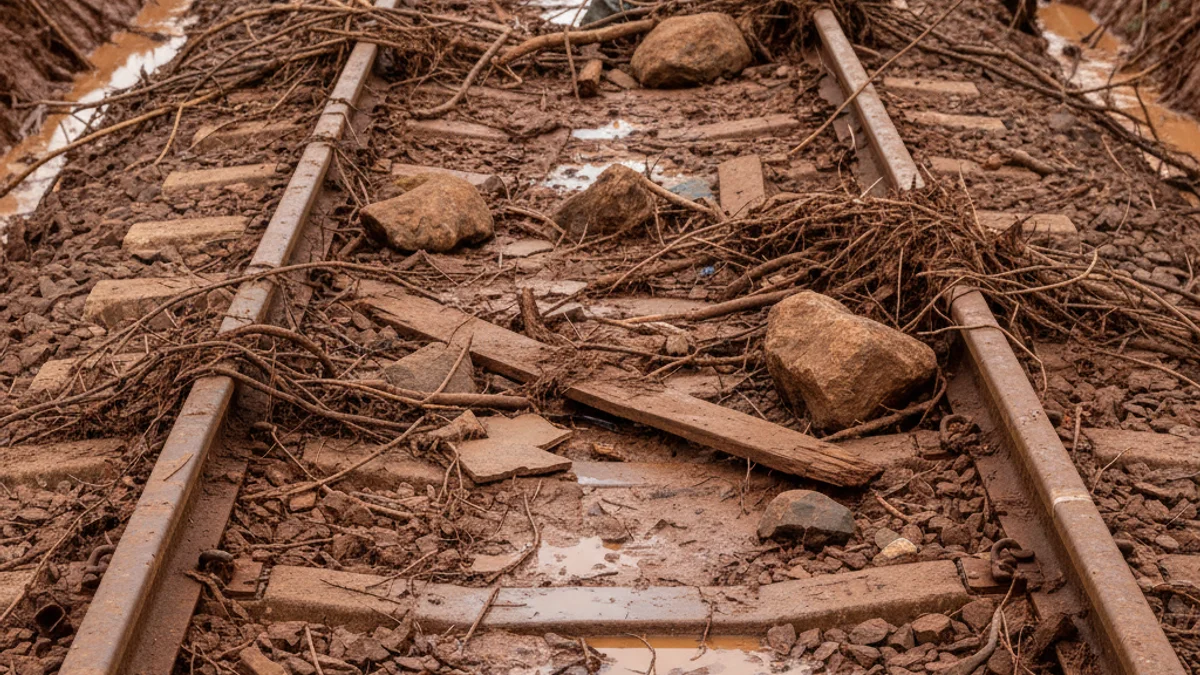
Storm Harry has left tragic consequences, notably the collapse of a retaining wall onto the R4 Rodalies tracks between Gelida and Sant Sadurní, which caused one fatality and several injuries. Furthermore, in the Girona area, emergency services located a body that might correspond to the man swept away by the Palau-sator stream (Baix Empordà).
Due to the damage, Adif has suspended railway service across the entire Catalan territory to thoroughly review the infrastructure and ensure safety after the storm. The Mediterranean coastal area remains under yellow alert due to rough seas, with waves reaching up to 3 meters.
The thermal drop will continue, and Catalonia will be immersed in intense cold that will last throughout the weekend, with maximum temperatures between 5 and 10 degrees Celsius.
A new Atlantic front will enter late Wednesday afternoon, shifting rainfall eastward, although precipitation will be scarce. The snow level will fluctuate between 1,200 and 1,400 meters in the Pyrenees, with moderate wind, particularly intense in the Girona regions, such as Cap de Creus and the Costa Brava.
Looking ahead to the weekend, a new storm is expected to arrive from southern Ireland. This will drive a succession of fronts causing the snow level to drop drastically to 600 meters, potentially bringing snow outside the usual areas of the Pyrenees.