
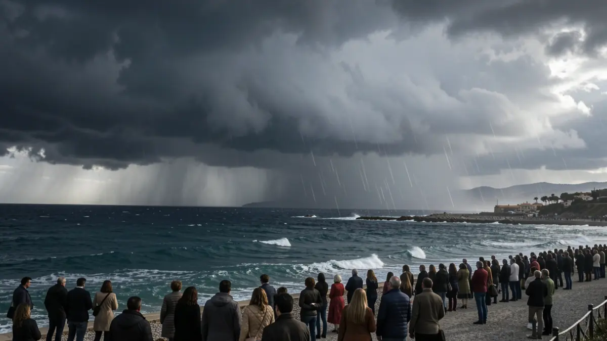
A potent storm is advancing across the Atlantic and will approach the Iberian Peninsula in the coming days, triggering a notable weather shift. According to the State Meteorological Agency (Aemet), its effects will begin to be felt from Monday, bringing rain, thunderstorms, strong winds, and a significant temperature decrease.
The system, currently over the North Atlantic, is expected to intensify before heading towards Portugal and the western Iberian Peninsula. Its appearance in the middle of summer is particularly striking, as such intense storms are more common during the colder months. Meteored sources suggest it could reach exceptionally low pressure values for this time of year, potentially becoming one of the strongest August storms recorded in the Atlantic region. While its development will be rapid, experts are still cautious about confirming if it will meet the criteria for an explosive cyclogenesis.
Despite its intensity over the ocean, its effects in Spain are not expected to be equally severe. The storm will reach its peak development far from the mainland and will approach the peninsula already in a weakening phase.
From Monday onwards, the change in scenery will become more apparent. Aemet forecasts heavy and persistent rains in the northwestern Iberian Peninsula, while thunderstorms may develop in the northeast. Wind will also be a factor, blowing with moderate to strong intensity, potentially bringing locally very strong gusts, and sea conditions will worsen in the Atlantic.
Furthermore, the storm will usher in a cooler air mass, causing temperatures to drop across wide areas of the country. The weather will be noticeably less hot at the beginning of next week, marking another shift in a month of August already characterized by strong contrasts.
Its effects could extend beyond the core of the disturbance. According to Meteored, the storm's position would favor the influx of humid easterly air towards Catalonia and the Valencian Community, as well as the arrival of precipitation bands from the southeast.
Despite the temperature decrease, the risk of wildfires will remain very high in a broad band across the northern peninsula, reaching extreme levels in some areas where southerly winds could be dry and hot.
The unusual nature of this storm has even caught the attention of the US National Hurricane Center (NHC), which is monitoring it for the possibility of it temporarily acquiring tropical or subtropical characteristics during its Atlantic journey. However, the US agency places this probability at only 20% and warns that the window for such a transformation will be short, as atmospheric conditions will become less favorable from Sunday night onwards.
The NHC's monitoring does not mean a hurricane is heading towards Spain. The storm's origin is non-tropical, and meteorologists are considering the possibility that it might acquire some traits of such systems for a few hours over open Atlantic waters.
Regardless of its evolution in the coming hours, its arrival will signify a marked change in weather at the start of next week. Rainfall will become more prominent in the northwest, thunderstorms may appear in the northeast, and winds will increase in various regions, while temperatures will recede in much of the country. All this under the influence of a storm with an intensity and evolution that are particularly unusual for late August.