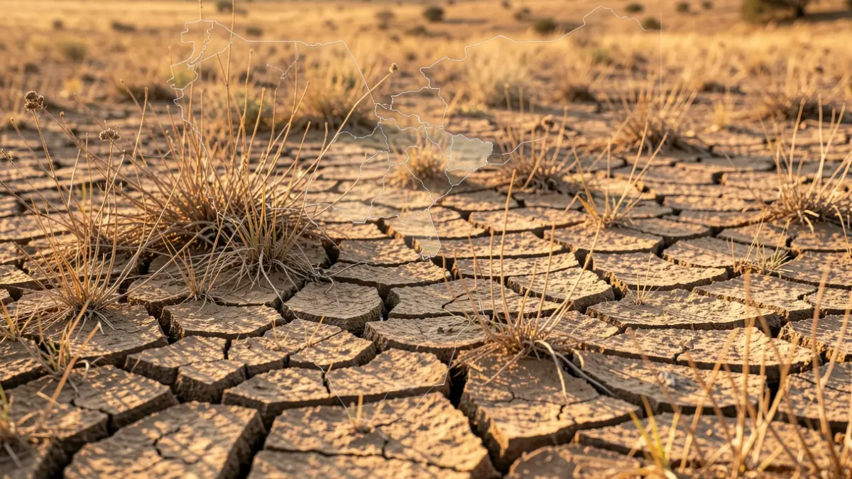
Gironès, Selva, and Garrotxa are among the Catalan counties with the driest vegetation currently. This is revealed by ForestDrought, a platform from the Center for Ecological Research and Forest Applications (CREAF) that daily monitors the water status of forests across the Iberian Peninsula and the Balearic Islands. The tool provides key indicators such as soil water content and live vegetation moisture.
Abundant rains in winter and spring had maintained good water reserves until early June. However, recent heatwaves are reversing this trend, causing a decrease in soil water reserves and the progressive drying of trees and shrubs.
Currently, areas like Extremadura, western Andalusia, and Castilla-La Mancha show greater dryness. In Catalonia, the most affected areas are concentrated in Vallès Oriental and Occidental, Maresme, and the aforementioned Girona counties.
Humidity below 100% and down to 80% indicates drought stress. If it drops below 80%, the vegetation is considered very dry, increasing fire risk. Catalan counties are currently just above the 100% humidity threshold.
CREAF developed this tool to more reliably anticipate areas and times when vegetation is in a critical state, thereby improving fire prevention. "The platform allows daily tracking of forest drought evolution over the last 365 days, and the positive aspect is that anyone can use it and access the map," explains data scientist Víctor Granda.
Researchers highlight that live vegetation moisture is a difficult indicator to calculate precisely and is often excluded from fire prediction models. Current indices are more based on meteorological conditions and dead vegetation variations. This new tool will enable the generation of more accurate fire risk maps.
Researcher Rodrigo Balaguer notes that different plant species respond differently to water scarcity. While shrubs dry out faster, trees retain moisture better. CREAF's tool considers these characteristics to offer more refined predictions.
Researchers agree that understanding vegetation moisture status, combined with other indices, would allow for the creation of more precise fire risk maps and provide valuable information to firefighters and administrations responsible for prevention.