Although today, Sunday, will not be as rainy as yesterday, the sky will remain cloudy with intermittent showers, most likely in the morning in the regions of Girona and Barcelona. The snow level will be between 1,400 and 1,600 meters.
Temperatures will remain similar to those on Saturday, with highs ranging between 9 and 14ºC. Towards the evening, the easterly wind will begin to strengthen significantly along the Costa Brava.
The significant change will arrive starting Monday with the entry of a cold air mass and the formation of a low-pressure system in the Mediterranean, named Harry. This situation will generate general and generous rainfall across the territory.
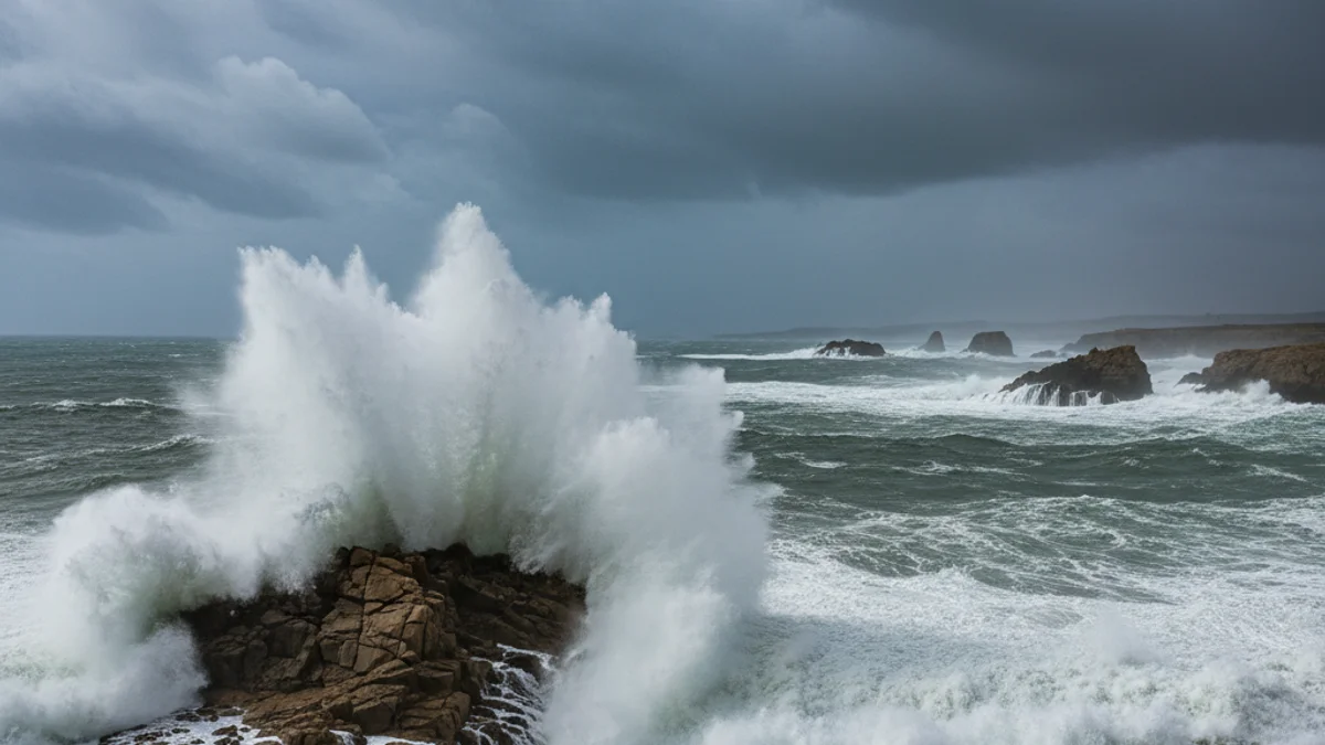
The most significant water accumulations are expected in the regions of Girona. Furthermore, a severe sea storm is anticipated, with waves potentially exceeding 4 meters in height, and strong easterly winds that will continue until Tuesday.