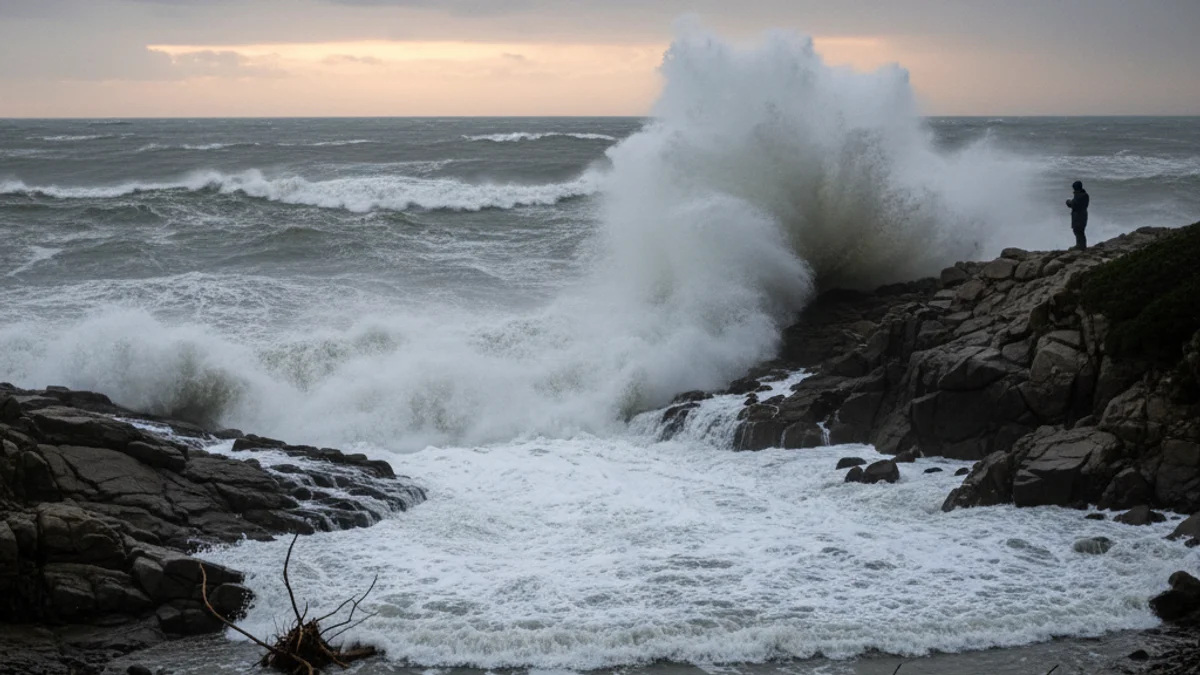
According to Joaquim Serra's forecasts, the most intense phase of the storm is expected between this afternoon and the upcoming night of January 19. Winds could exceed 80 km/h, and the maritime impact will bring waves potentially reaching 4 meters in height.
Beyond the coastal risk, attention is focused on hydrology. Although a severe overflow of the Tordera river is not expected as in previous episodes, monitoring the swelling of the region's rivers and streams will be necessary.
“"The main impact will be on the Santa Coloma stream, rather than the river's headwaters."
Serra emphasized the need to strictly follow the recommendations of Protecció Civil and local police forces. It is advised to avoid driving or parking vehicles in areas close to rivers and streams while the bad weather persists.