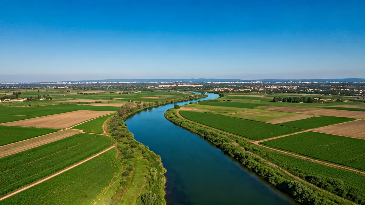
These reports, expected to be completed by mid-2027, primarily aim to propose technical solutions that enhance the safety of citizens and urban areas most vulnerable to extreme weather events. The initiative is part of actions approved by the Government on October 21, 2025, following damages caused by storm Alice in the river courses of Montsià and Baix Ebre.
The first study, with an investment of nearly 120,000 euros, will focus on historically problematic areas in Alcanar and la Ràpita. It will specifically analyze the ravines of les Forques, Sant Jaume, and Codonyol i Aljub/Suís. Options under consideration include widening sections, creating lamination ponds, improving drainage points, and implementing environmental measures to strengthen the river corridor.
The second study will address ravines in ten additional municipalities. It will include the Pelós ravine in Santa Bàrbara; the Foies ravines in Ulldecona and Freginals; the Carbonera, Polla, and Codines ravines, also in Ulldecona; the Galatzo ravine in Roquetes; the Oriola and Rota ravines in Amposta; the Caldera ravine in Godall; the Galera ravine in Masdenverge, Tortosa, and la Galera; and the Solito ravine in la Ràpita.
This second report must propose solutions such as widening riverbeds, restoring river sections, improving drainage works, constructing lamination ponds, undertaking environmental and river restoration actions, and implementing measures to reduce urban vulnerability. For both studies, official hydraulic modeling (MAPRI ACA and CHE) will be used, incorporating sediment transport, sea level impact, and environmental and urban conditions. The ultimate goal is to obtain a rigorous technical proposal that enables ACA to identify risk areas, establish viable alternatives, define costs-impacts-benefits, and plan future works to protect the population and infrastructure.