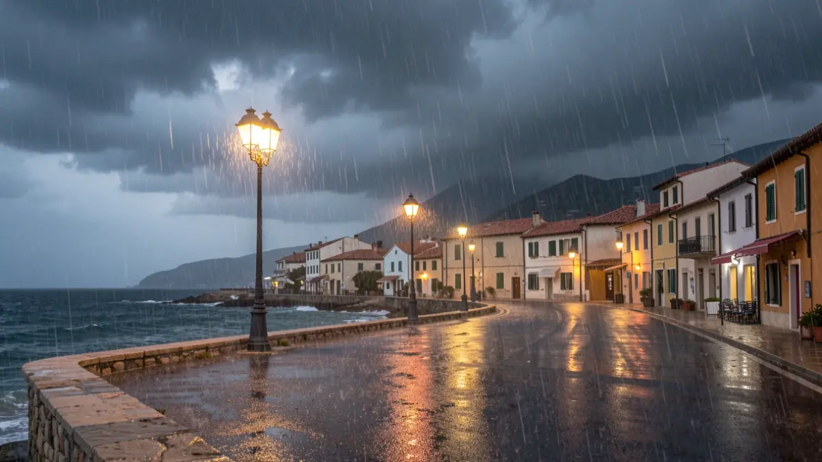
During Saturday morning, torrential rains were recorded in the southern half of the Catalan coast, primarily affecting Baix Penedès and Tarragonès. According to data from the Meteorological Service of Catalonia (Meteocat), approximately 140 liters per square meter accumulated in El Vendrell and Torredembarra, with some points on the Baix Penedès coast potentially exceeding 200 liters. In the northern Tarragonès coast, rainfall surpassed 110 liters.
Meteocat maintains warnings for precipitation intensity throughout the morning, with a risk of downpours between Costa Daurada and Terres de l'Ebre. The most intense storms will move south, affecting the Gulf of Sant Jordi and the Ebro Delta, where a small convergence zone is expected to favor intense showers. More scattered showers are also anticipated in central, western, and Pre-Pyrenean areas.
From the afternoon onwards, showers will concentrate in the Pyrenees, Pre-Pyrenees, and western regions, including northern Ponent, as well as in Els Ports and parts of southern Terres de l'Ebre. These phenomena will be more isolated and less intense than those recorded on the coast. At night, showers could reactivate along the Costa Daurada.
Civil Protection has activated the Inuncat plan alert due to the possibility of sudden downpours and floods. Over 40 liters per square meter may be exceeded in just thirty minutes, with localized storms that can deliver heavy rainfall. The highest risk, initially in Camp de Tarragona, has shifted towards Terres de l'Ebre.
The Spanish State Meteorological Agency (AEMET) has also issued yellow alerts for intense rain in the Pitiusas, La Plana, and Baix Maestrat, with the possibility of storms accompanied by hail and strong wind gusts.
Regarding temperatures, a general decrease is expected. Maximums will not exceed 31°C or 32°C in many areas, ranging between 26°C and 29°C across much of Catalonia. On Sunday, the situation is expected to improve slightly with more scattered showers and a slight rise in temperatures.