The month of January has established itself as one of the most unstable and humid in recent decades. In Barcelona alone, up to 100 liters per square meter have been recorded, representing a sixth of the annual average, according to data collected by the Observatori Fabra. This trend suggests that the meteorological winter season (December-February) is shaping up to be the wettest in Catalonia since 2003.
The weather forecast announces an ephemeral pause with a calm Thursday, although with isolated rain in the west of Lleida and Tarragona. The most notable feature will be the generalized drop in temperatures, with lows ranging between 0 and 7 °C on the coast and pre-coastal areas, and the return of frost inland. However, thermometers could reach close to 15 °C by midday.
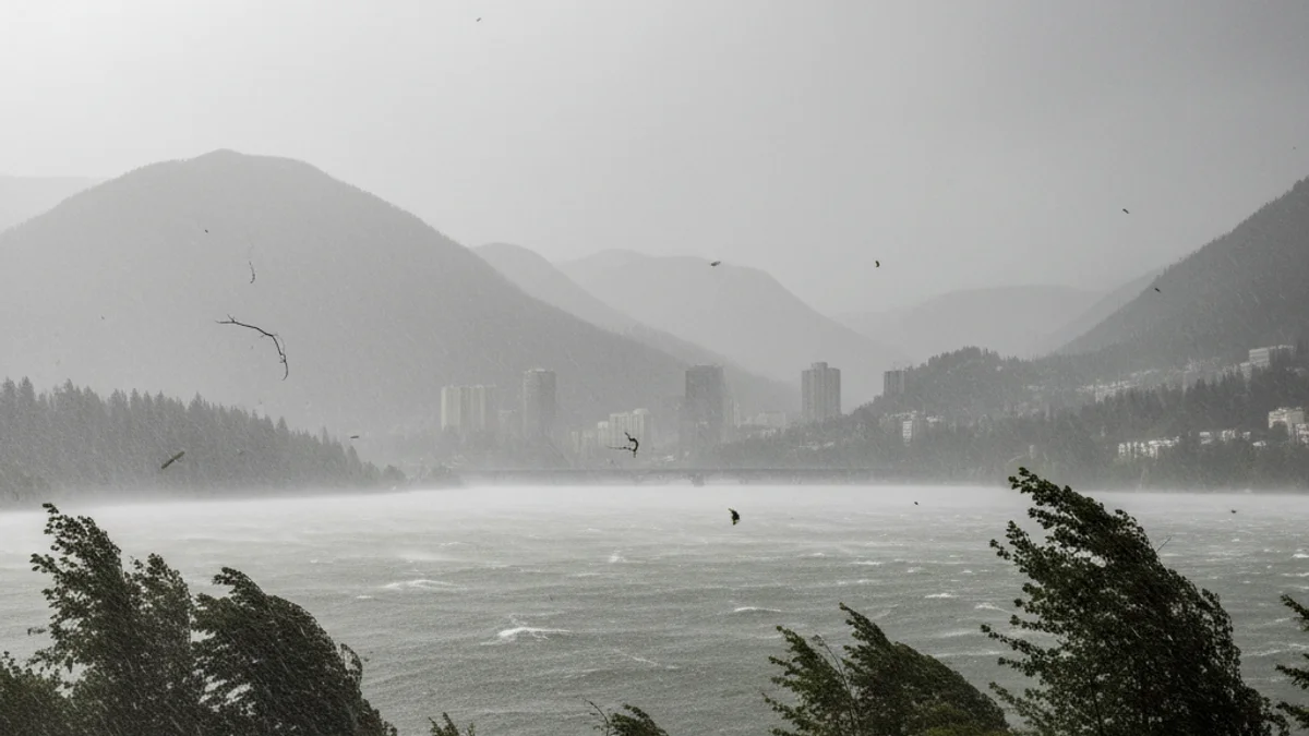
Towards Friday, the west wind will reactivate, with moderate gusts along sections of the central coast and the central plateau. Meteocat has activated a yellow warning in several regions, including Baix Llobregat, Anoia, Alt Penedès, and Baix Penedès. This alert extends to Tarragona regions such as Alt and Baix Camp, Tarragonès, and Conca de Barberà, where gusts could exceed 100 km/h over the weekend.
The weekend is expected to bring strong contrasts: precipitation in the Pyrenees and Pre-Pyrenees, more intense in Empordà (Girona), with a snow level between 800 and 1,000 meters. The rest of Catalonia will enjoy clear skies, ideal for outdoor activities. This stability, however, will be short-lived, as a new deep storm is expected for Monday, which could reactivate persistent showers.