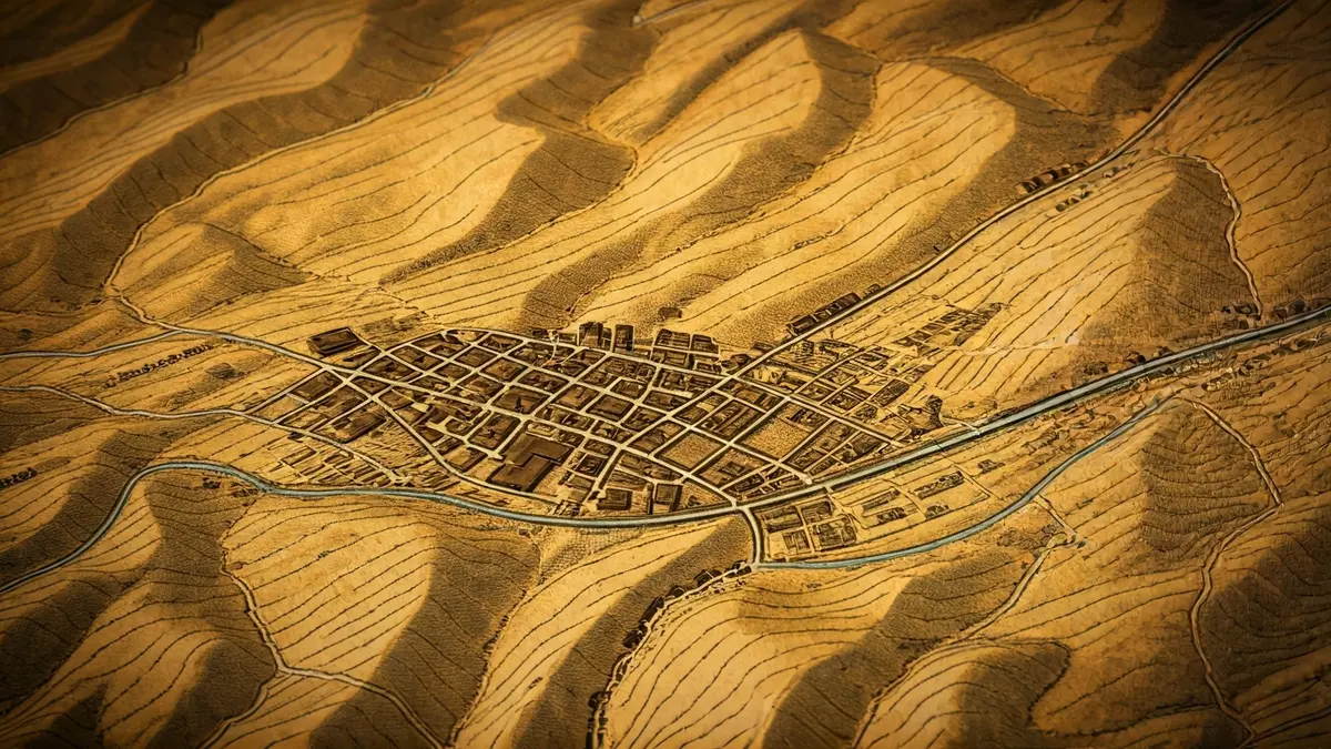
This historical document, preserved at the Rubí Museum and also available on the Arxiu Pallarols website, stands out for its artistic intent. At the center of the map, an illustration of the Sant Pere church can be seen, accompanied by the distinct curved line of the railway that traversed the municipal area.
The map documents an extensive network of paths, streams, and the river, along with small drawings of almost all the farmhouses, the castle, and the two hermitages of Rubí: Sant Genís, of which significant remains still existed, and Sant Muç.
In addition to elements specific to Rubí, the map also includes references to nearby places in other municipalities, such as the Ca n’Ametller farmhouse and the Santa Maria de Campanyà hermitage in Sant Cugat del Vallès, the Sant Feliu de Vilamilanys hermitage in Sant Quirze del Vallès, and the Sant Joan de ca n’Estapé hermitage in Castellbisbal.
One of the most relevant aspects of the map is that it records farmhouses and other elements of the Rubí territory that have now disappeared or are in a very deteriorated state. These include the Bessons, Noguera, and Bastida mills, as well as farmhouses and ancestral homes like Can Barceló, Can Cabanyes, Can Tiraïres, Can Riquer Vell, Can Fatjó, Can Claverí, or Can Casanovas. Most of these fell victim to the significant urban expansion that Rubí experienced from the late 1960s, shortly after the publication of this valuable map.