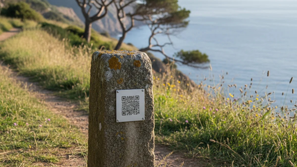
This heritage initiative allows visitors to follow the stone markers that administratively divided the two municipalities before their unification. The project included restoring original markers and installing new ones where they had been lost. Each marker features a QR code providing access to detailed information and a digital map of the 30 markers.
The route also highlights borders with neighboring towns such as Calonge i Sant Antoni, Forallac, Vall-llobrega, and Mont-ras. An explanatory panel in five languages has been placed at the start of Catalunya Avenue.
A free guided tour of the 3.5 km route will take place on March 22nd. The walk starts at 9:30 AM at Josep Sarquella Square and will conclude at noon at the La Fosca promenade.