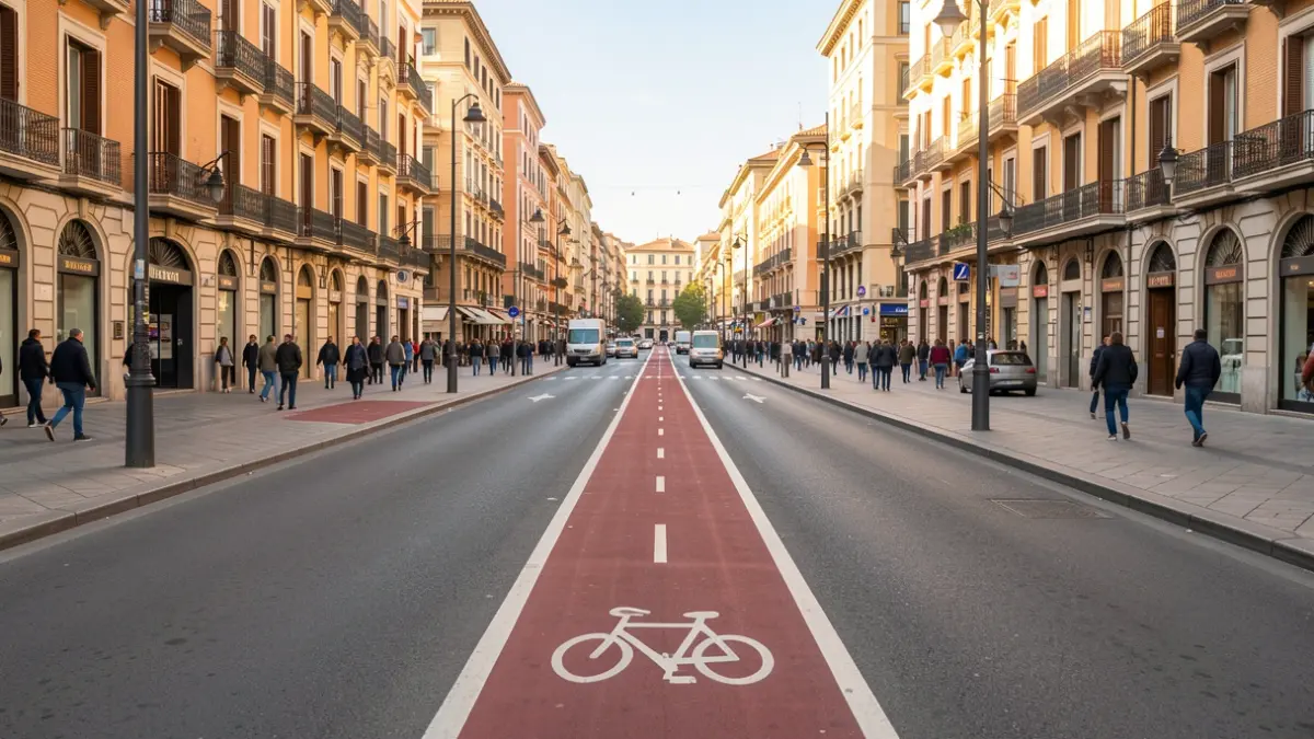

The Government of Catalonia is creating a virtual replica of the road network in the metropolitan area of Barcelona. This tool, known as a "digital twin," will enable real-time analysis of road conditions to anticipate traffic jams and improve mobility management. It will also facilitate a more efficient response to emergencies and accidents.
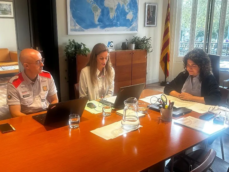
As announced by councilors Núria Parlon and Sílvia Paneque, this pioneering tool will cover a 326-kilometer stretch of strategic roads. Approximately 800,000 vehicles use these roads daily, including around 90,000 heavy trucks (11% of the total).
The digital twin will analyze and monitor immediate information from roads such as the Ronda de Dalt, C-31, C-32, C-16, C-17, C-33, and C-58.
The project has a budget of 7.1 million euros, with 40% coming from European Feder funds. It is scheduled for completion in May 2029, with implementation expected between 2029 and 2030.
Initially, the project focuses on these 326 kilometers, but the intention is to extend it in the future to the entire road network of Catalonia, totaling 6,000 kilometers, with the ultimate goal of improving mobility across the region.