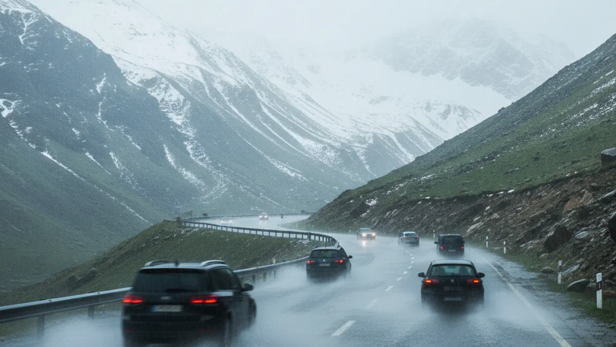
The storm is expected to particularly affect inland regions such as Berguedà, Ripollès, and Solsonès, where snowfall could be quite significant at medium and high altitudes in the Pyrenees and Pre-Pyrenees. The Servei Català de Trànsit (SCT) has warned of possible disruptions on key sections like the Eix Pirinenc (N-260) and the Eix del Llobregat (C-16), advising drivers to equip vehicles with chains and check road conditions.
“"the episode will begin this Saturday and is expected to last until Wednesday, with Tuesday being the most adverse day of this episode."
This storm is caused by the combination of an anticyclone over northern Europe and a low-pressure system in the western Mediterranean, favoring an intense flow of easterly winds loaded with humidity. Accumulations of up to 60 liters per square meter are expected in 12-hour periods in coastal areas, with Monday and Tuesday marking the peak of the event.
The Catalan coast will also experience a severe maritime storm, with waves potentially exceeding four meters during the most intense moments, especially between Monday and Tuesday. Authorities have warned of the risk of falling branches, trees, and vulnerable architectural elements due to very strong wind gusts in exposed coastal areas.