According to the Meteocat forecast, snowfall will begin on Sunday night, primarily affecting the Western and Central Pyrenees. The danger is concentrated in the regions of Vall d'Aran and Pallars Sobirà, where more than 30 centimeters of new snow may accumulate above 2,000 meters.
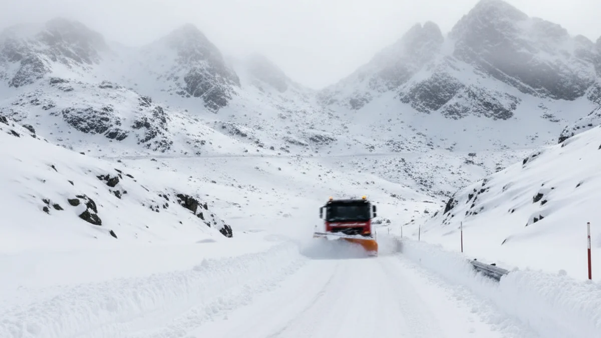
The Department of Territory is working by provoking controlled avalanches in the Port de la Bonaigua to clear the C-28 road, which was affected by an avalanche the previous night.
Regarding wind, the Servei Meteorològic de Catalunya (SMC) expects gusts that may exceed 80 km/h in areas of Ponent, the Western Pyrenees, Central Catalonia, and the Central coast. Protecció Civil urges extreme caution when traveling by road and engaging in outdoor activities, as blizzards can hinder visibility in high mountains.
The avalanche risk remains strong (level 4 out of 5) in sectors such as Pallaresa, Prepirineu, Tirant Nord Cadí-Moixeró, and Ter-Freser. Regarding road disruptions, the closure of the C-28 at Port de la Bonaigua and the BV-4031 at Coll de la Creueta remains, in addition to the mandatory use of chains on several stretches, including the C-38 in Molló (Ripollès).
The incident balance is high: the Bombers de la Generalitat have received over 310 alerts for snow and rain since the start of the episode. The 112 emergency phone line handled a total of 1,190 calls until noon on Sunday, mainly due to traffic and weather incidents, with most communications originating from Solsonès, Baix Camp, and Moianès.