The State Meteorological Agency (Aemet) has issued a yellow alert for storms affecting several regions, including Aragon, Castilla y León, Catalonia, Navarre, the Basque Country, and La Rioja. This alert will be in effect from midday until 8:00 PM, during which the most intense rainfall is expected.
Rainfall will occur in the form of showers and thunderstorms, which may be locally strong. Additionally, they could be accompanied by hail and very intense wind gusts, especially in areas such as the Iberian System, northern Burgos, the Ebro Valley, Navarre, and the Pyrenees.
During the early hours of the day, low clouds are expected in Galicia, the Cantabrian Sea, the coasts of the Valencian Community, and the western Alboran Sea. From the afternoon, cloudiness will develop in large areas of the northeastern peninsula, while the rest of the territory will enjoy generally clear skies.
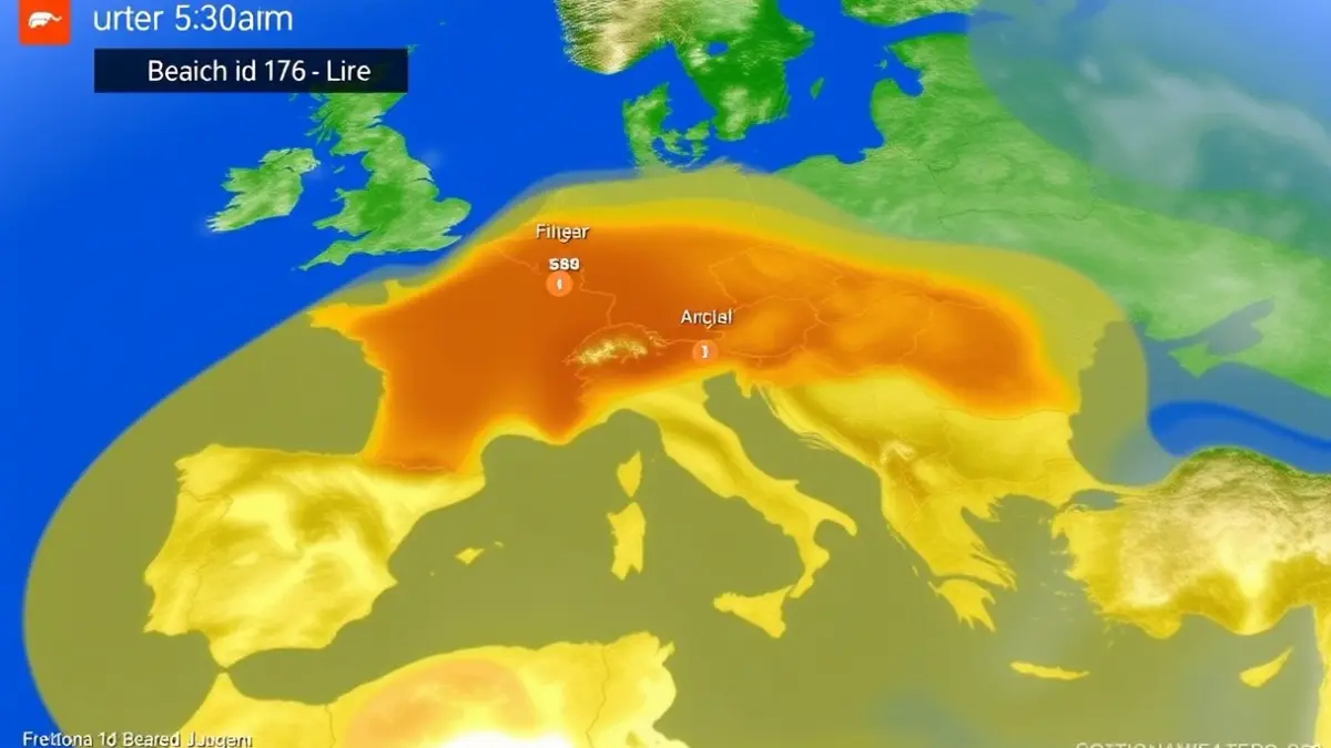
Regarding temperatures, most of the Peninsula will record maximums of 25ºC or more. Cities such as Ciudad Real, Cordoba, Granada, Jaen, Lleida, Zaragoza, and Toledo will exceed 30ºC. The highest values are expected in Seville, where thermometers could reach 33ºC, marking the onset of summer temperatures.
In the rest of the territory, temperatures will remain stable, although an increase in maximums is anticipated in the northern tip of the peninsula. This rise will be particularly noticeable in northern Galicia and the Cantabrian coast, where values could increase by between 4ºC and 8ºC compared to Saturday's readings.