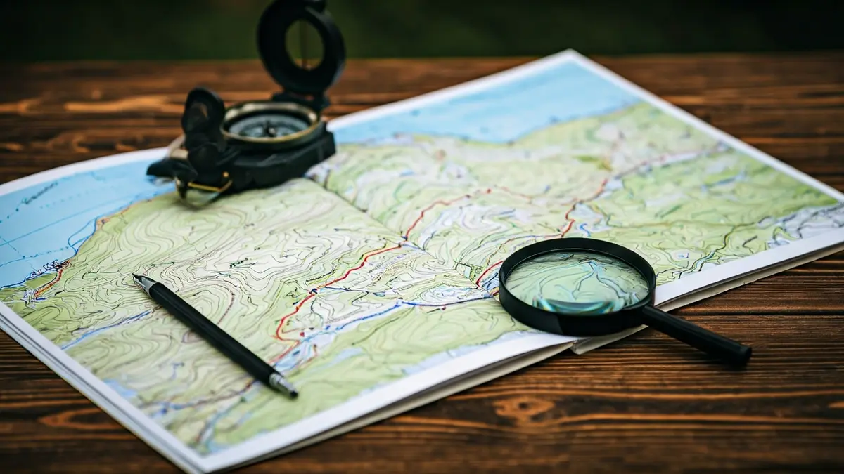
This publication, at a 1:20,000 scale, includes essential information for hikers and outdoor activity enthusiasts. The map highlights marked trails such as GR, PR, and SL routes, as well as footpaths, roads, and points of interest related to the natural and cultural heritage of the Granollers region.
The new title, published entirely in Catalan, comes in a compact format of 11.5 x 20.5 cm, unfolding to reveal an 81 x 68 cm map. In addition to the map, the foldable cover includes a selection of suggested itineraries, relevant geographical data, and a list of points of interest, facilitating hike planning and understanding of the territory.
Beyond its cartographic function, Editorial Alpina's goal with this edition is to emphasize the connection between urban and natural environments. In a highly urbanized area like Granollers, the map highlights the value of cultural landscapes and nearby natural spaces, encouraging exploration that extends beyond protected or remote areas.
With this new release, Editorial Alpina expands its catalog of detailed hiking cartography, reaffirming its commitment to creating practical, reliable, and informative tools for understanding the territory.