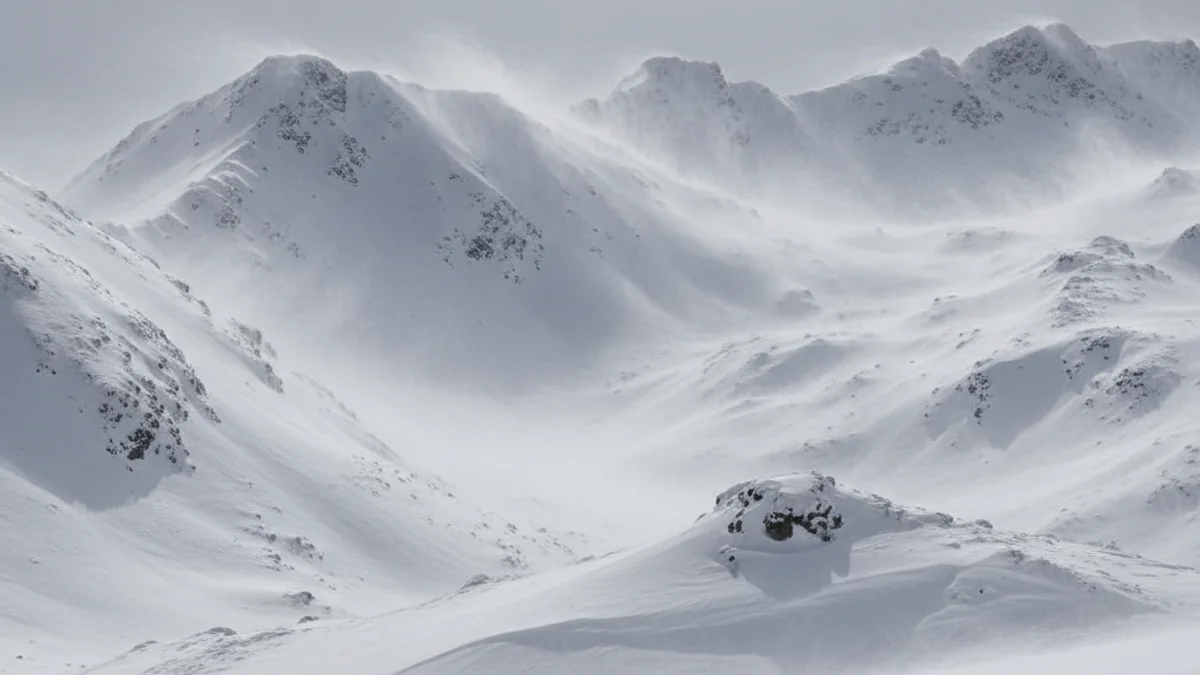
The MeteoAran forecast indicates that between Friday, January 9, and Saturday, January 10, over 50 cm of snow could accumulate at the high elevations of the Val d'Aran. Snowfall will range from moderate to intense, accompanied by strong winds and the phenomenon known locally as 'torbeig' (blizzard).
On Friday, January 9, after moderate snowfalls at dawn, the intensity will increase in the afternoon and evening, with expected accumulations of 20 to 25 cm. The snow line will drop sharply from 1,300 m to 600 m. Northwest winds will shift to the east, with warnings for strong gusts, especially during the afternoon and night.
The Saturday, January 10, will remain gray and cold, with almost continuous snowfall, more frequent and intense in the morning, when the north wind will blow strongly at mid and high altitudes, causing blizzards. Around 30 cm is expected at high elevations and 15 cm on the Valley floor, with the snow easing off by night.
The Sunday, January 11, is shaping up to be the best ski day of the season, featuring sun and some high, thin clouds. The weather will be cold but stable, although the wind chill will be low early on, recovering throughout the afternoon. Minimum temperatures in towns like Gausac and Bagergue will range between -3 °C and -1 °C over the weekend.
Due to the significant snow accumulation and the potential formation of wind slabs, skiers and visitors are advised to consult the avalanche risk bulletin from the Centre de Lauegi d’Aran.


