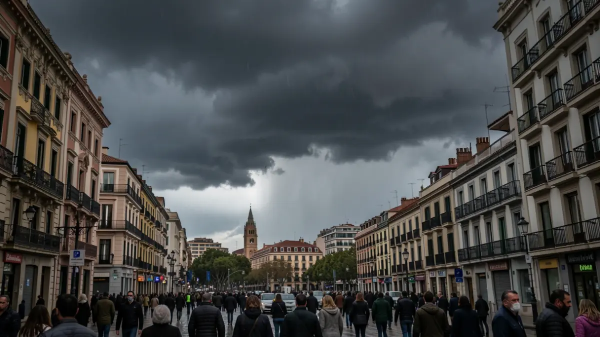
The arrival of a trough of cold air at altitude will reactivate rain and cooler temperatures in the metropolitan area of Barcelona and Catalonia, ending the recent spell of good weather. With the forecast of a potentially strong rain episode, accompanied by thunderstorms, hail, and some moderate gusts of wind, the Meteocat warnings and the Inuncat alert from Civil Protection remain active.
The precipitation will push back the mass of warm air that has caused temperatures to soar, leaving milder temperatures until the weekend. The first showers are expected around midday in the inland regions and will gradually spread towards Barcelona and the metropolitan area, with the late afternoon being the time to pay closest attention to the sky.
The clash between the warm air and the cold air mass entering this Thursday could favor the formation of locally strong thunderstorms, with possible showers accompanied by hail. In Barcelona and the metropolitan area, the period of greatest risk is expected between seven or eight in the evening and midnight, with potential accumulations exceeding 20 liters per square meter in half an hour. The Meteocat warning is at level 4 out of 6.
For this reason, it is advisable to exercise extreme caution when traveling and to stay informed about the weather's evolution.