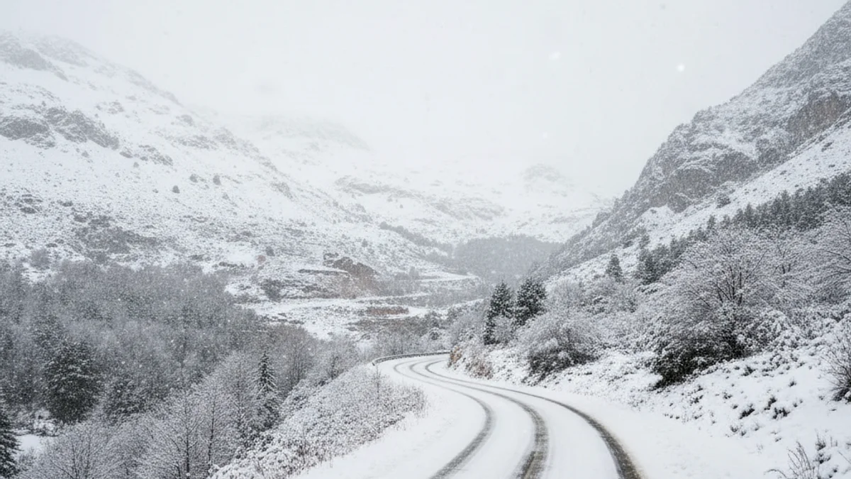
The Lleida region faces a weekend marked by rain, snow, and a notable drop in temperatures, according to meteorological forecasts for Saturday and Sunday. Weather services have confirmed that precipitation is expected in various parts of the province, with a risk of snowfall in the Pyrenees and Pre-Pyrenees that could affect mobility.
The forecast for Saturday indicates cloudy intervals with the possibility of intense showers in elevated areas. The snow level will initially be situated between 500 and 800 meters, with the potential for significant accumulations, especially in the northern territory. Maximum and minimum temperatures will fall generally, causing overnight frosts in the Pyrenean counties.
The presence of morning frosts will remain a constant in the Pyrenean valleys throughout the weekend.
Instability will continue on Sunday, with variable skies and episodes of rain concentrated mainly in the Pyrenees. Although the snow level will rise slightly, settling between 600 and 800 meters, snow showers could still occur at low altitudes early in the morning. The wind will blow lightly from the west, although moderate gusts are expected during the afternoon and evening.