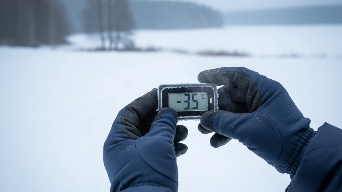
The week started with intense cold caused by Storm Francis, which already affected Epiphany with snowfall in the Pyrenees and rain at low altitudes. Temperatures have reached record lows, with sub-zero readings in many towns and intense fog.
The early morning hours from Tuesday to Wednesday were the coldest, with minimums ranging between 0ºC and -10ºC from the pre-coastal areas inland. In mountain areas and the Pyrenees, thermometers dropped to -15ºC, maintaining the yellow warning for snow in regions like the Vall d’Aran.
Until Thursday noon, the atmosphere will remain clear, but temperatures will continue to be very low, although less extreme than the previous day.
Meteocat maintains the orange warning for extreme cold throughout Wednesday, which will be deactivated at noon. Furthermore, yellow and orange warnings have been activated for strong winds along the coastal and pre-coastal strip, affecting regions like Baix Penedès and Alt Penedès. The extreme cold episode will end with the arrival of an Atlantic front on Friday, when temperatures could rise up to 10 degrees, reaching highs of 15ºC in Barcelona.