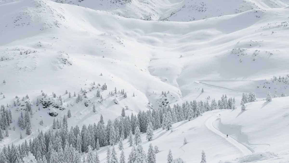
Provisional data, collected until Sunday at 12 noon, place the Boí Taüll ski resort (at 2,535 meters altitude) as the point with the greatest depth, with 93 centimeters of new snow. This figure, the highest of the episode, could still increase, as it continued snowing in the afternoon at the Ribagorça complex. In Alt Urgell, the Sant Joan de l'Erm Nordic station measured about 80 centimeters.
“"It is the biggest snowfall they have seen in at least twenty years."
Other observatories have registered significant depths during the last 48 hours, according to the Catalan Meteorological Service (MeteoCat). Highlights include 70 cm at the Espot station, 60 cm at Prat d'Aguiló-Cadí Nord and Lac Redon, and 48 cm at Ulldeter. Outside the Pyrenees, the storm also left 5 centimeters at Puig Sesolles, in the Montseny massif.
Regarding rainfall, Boí Taüll also leads the provisional ranking with 140 l/m2 accumulated, followed by Espot with 131.5 l/m2, mostly in the form of snow. Forecasts indicate that the episode is not over, as a new storm, defined by MeteoCat as "first category," will cross Catalonia between Monday and Tuesday, potentially adding up to 80 more centimeters of new snow in some high mountain areas.